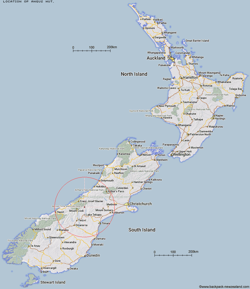
Topo Map showing location of Angus Hut
This information is sourced from DoC, LINZ and Openstreetmap. Some of the hut photos are mine and the rest are from DoC. I will be adding an upload feature soon so people can photos of .Angus Hut.
Latitude: -43.6545166336
Longitude: 170.474675331
Location:
Type of Hut:
Map: Topo Map | Road Map
Does this hut still exist? Have any more information? Contact
Latitude: -43.6545166336
Longitude: 170.474675331
Location:
Type of Hut:
Map: Topo Map | Road Map
Does this hut still exist? Have any more information? Contact
Scroll down to see a topographical map and road map showing the location of Angus Hut
[ A ] [ B ] [ C ] [ D ] [ E ] [ F ] [ G ] [ H ] [ I ] [ J ] [ K ] [ L ] [ M ] [ N ] [ O ] [ P ] [ Q ] [ R ] [ S ] [ T ] [ U ] [ V ] [ W ] [ Y ] [ Z ]
Closest 20 Huts to Angus Hut
These are as the crow fliesRankin Hut 5.8km Ribbonwood Hut 6.42km Birdcage Hut 7.5km Memorial Hut 7.72km Tin Hut 11.21km Stony Stream Hut 11.38km Middle Gorge Hut 12.32km Red Stag Hut 12.91km Macaulay Hut 13.24km Ryders Hut 13.27km Liebig Hut 13.51km Onslow Hut (Steffan Memorial Hut) 14.4km Eade Memorial Hut 15.04km Murchison Hut 16.45km Waterfall Hut 17.15km Kelman Hut 17.61km Rex Simpson Hut 17.88km Tasman Saddle Hut 18.95km Littles Hut 19.28km Godley Hut 19.58km Camp Stream Hut 20.89km Royal Hut 22.33km Ball Hut 23.08km Carneys Bivvy's 23.21km Haast Hut 23.76km Stone Hut 24.11km Green Point Hut 24.17km Caroline Hut 24.53km Plateau Hut 24.69km Whymper Hut 25.05km Forbes Bivouac 25.3km Centennial Hut 25.32km Crooked Spur Hut 25.57km Top Butler Hut 26.18km Murphys Bivvy 26.42km Growler Hut 26.6km Pioneer Hut 27.18km Butler Junction Hut 27.87km Dog Kennel Bivouac 28.13km Mistake Flats Hut 28.94km