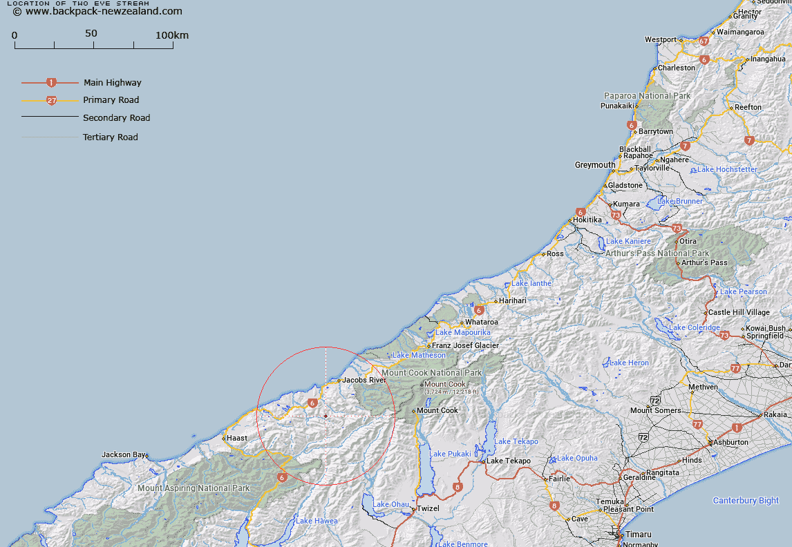
Map showing location of Two Eye Stream
LINZ description: A tributary of the Otoko River flowing South-westward from the Strachan Range, 3.5km North-west of Mount Northcroft, and joining the Otoko river upstream of Reynolds Flat, due North of Mount Millington. Block X Mount Douglas Survey District.
Latitude: -43.761532
Longitude: 169.607026
Northing: 5149016
Easting: 1326877
Land District: Westland
Feat Type: Stream
Latitude: -43.761532
Longitude: 169.607026
Northing: 5149016
Easting: 1326877
Land District: Westland
Feat Type: Stream

Scroll down to see a more detailed road map and below that a topographical map showing the location of Two Eye Stream. The road map has been supplied by openstreetmap and the topographical map of Two Eye Stream has been supplied by Land Information New Zealand (LINZ).
Yes you can use the top static map for you school/university project or personal website with a link back. Contact me for any commercial use.
[ A ] [ B ] [ C ] [ D ] [ E ] [ F ] [ G ] [ H ] [ I ] [ J ] [ K ] [ L ] [ M ] [ N ] [ O ] [ P ] [ Q ] [ R ] [ S ] [ T ] [ U ] [ V ] [ W ] [ X ] [ Y ] [ Z ]