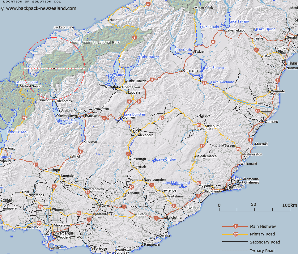
Map showing location of Solution Col


LINZ description: Col between Climax and Destiny Peaks, Homboldt Mountains above Olvine Ice Plateau.
Latitude: -44.453673
Longitude: 168.369672
Northing: 5067300
Easting: 1231600
Land District: Otago
Feat Type: Pass


Scroll down to see a more detailed road map and below that a topographical map showing the location of Solution Col. The road map has been supplied by openstreetmap and the topographical map of Solution Col has been supplied by Land Information New Zealand (LINZ).

Yes you can use the top static map for you school/university project or personal website with a link back. Contact me for any commercial use.

Solution Col Map New Zealand


New Zealand places in our database
[ A ] [ B ] [ C ] [ D ] [ E ] [ F ] [ G ] [ H ] [ I ] [ J ] [ K ] [ L ] [ M ] [ N ] [ O ] [ P ] [ Q ] [ R ] [ S ] [ T ] [ U ] [ V ] [ W ] [ X ] [ Y ] [ Z ]


Closest 20 Passs to Solution Col

Climax Col ( 1.34km )   Forgotten River Col ( 2.26km )   Desperation Pass ( 4.6km )   Possibility Col ( 4.65km )   Intervention Saddle ( 4.68km )   Seal Col ( 4.98km )   Pic d'argent Col ( 5km )   Glacier Col ( 5.25km )   False Col ( 5.55km )   O'Leary Pass ( 7.06km )   Four Brothers Pass ( 7.56km )   Trinity Pass ( 7.85km )   Trinity Col ( 7.87km )   Beresford Pass ( 8.28km )   Invitation Col ( 8.51km )   Hurricane Col ( 9.75km )   Stag Pass ( 9.98km )   Persephone Col ( 10.52km )   Boys Col ( 10.66km )   Tornado Saddle ( 11.23km )   Fohn Saddle ( 11.87km )   North Snowball Saddle ( 11.9km )   Snowdrift Saddle ( 11.9km )   Simonin Pass ( 12.82km )   Pyramid Col ( 13.24km )   Alabaster Pass ( 14.52km )   Snowball Saddle ( 14.55km )   South Snowball Saddle ( 14.55km )   Halfway Saddle ( 14.7km )   Fiery Col ( 14.95km )   Mystery Col ( 15.66km )   Whitbourn Saddle ( 16.32km )   Cow Saddle ( 16.93km )   Shepherds Pass ( 17.16km )   Luncheon Col ( 17.86km )   Twenty Five Mile Saddle ( 18.37km )   Wright Pass ( 18.4km )   Arcade Saddle ( 18.61km )   Rees Saddle ( 18.78km )   Pakeha Col ( 19.41km )