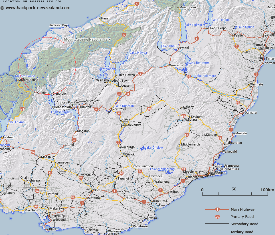
Map showing location of Possibility Col


LINZ description: Col between Betty Peak and Mount Gates above Derivation Icefall in the Barrier Range.
Latitude: -44.486391
Longitude: 168.333125
Northing: 5063500
Easting: 1228900
Land District: Otago
Feat Type: Pass


Scroll down to see a more detailed road map and below that a topographical map showing the location of Possibility Col. The road map has been supplied by openstreetmap and the topographical map of Possibility Col has been supplied by Land Information New Zealand (LINZ).

Yes you can use the top static map for you school/university project or personal website with a link back. Contact me for any commercial use.

Possibility Col Map New Zealand


New Zealand places in our database
[ A ] [ B ] [ C ] [ D ] [ E ] [ F ] [ G ] [ H ] [ I ] [ J ] [ K ] [ L ] [ M ] [ N ] [ O ] [ P ] [ Q ] [ R ] [ S ] [ T ] [ U ] [ V ] [ W ] [ X ] [ Y ] [ Z ]


Closest 20 Passs to Possibility Col

Glacier Col ( 1.36km )   Desperation Pass ( 2.68km )   Climax Col ( 3.44km )   Seal Col ( 3.89km )   Solution Col ( 4.65km )   False Col ( 5.57km )   Forgotten River Col ( 5.65km )   Intervention Saddle ( 6.03km )   Four Brothers Pass ( 6.25km )   Fohn Saddle ( 7.32km )   O'Leary Pass ( 8.56km )   Pic d'argent Col ( 8.7km )   Beresford Pass ( 9.05km )   Alabaster Pass ( 10.36km )   Fiery Col ( 10.42km )   Trinity Pass ( 12.12km )   Stag Pass ( 12.35km )   Trinity Col ( 12.37km )   Cow Saddle ( 12.38km )   Pyramid Col ( 12.67km )   Invitation Col ( 12.86km )   Boys Col ( 13.4km )   Hurricane Col ( 13.93km )   Shepherds Pass ( 14.53km )   Persephone Col ( 15km )   North Snowball Saddle ( 15.04km )   Snowdrift Saddle ( 15.04km )   Luncheon Col ( 15.28km )   Wright Pass ( 15.72km )   Tornado Saddle ( 15.74km )   Park Pass ( 15.93km )   Simonin Pass ( 16.59km )   Valpys Pass ( 16.78km )   South Snowball Saddle ( 17.85km )   Snowball Saddle ( 17.85km )   Twenty Five Mile Saddle ( 18.26km )   Halfway Saddle ( 19.23km )   Mystery Col ( 19.47km )   Lennox Pass ( 19.52km )   Rees Saddle ( 19.57km )