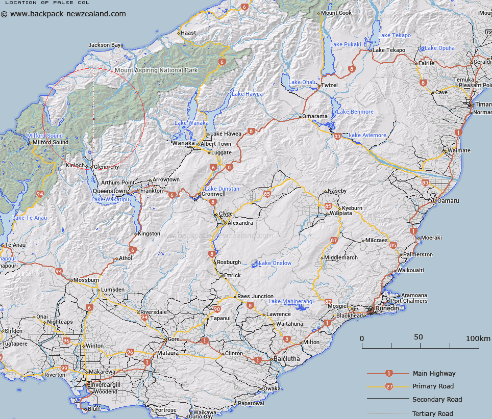
Map showing location of False Col


LINZ description: Uncrossable col between Nansen and Johansen Peaks above Abruzzi and Chancellor Glaciers, Barrier Range.
Latitude: -44.498167
Longitude: 168.401362
Northing: 5062500
Easting: 1234400
Land District: Otago
Feat Type: Pass


Scroll down to see a more detailed road map and below that a topographical map showing the location of False Col. The road map has been supplied by openstreetmap and the topographical map of False Col has been supplied by Land Information New Zealand (LINZ).

Yes you can use the top static map for you school/university project or personal website with a link back. Contact me for any commercial use.

False Col Map New Zealand


New Zealand places in our database
[ A ] [ B ] [ C ] [ D ] [ E ] [ F ] [ G ] [ H ] [ I ] [ J ] [ K ] [ L ] [ M ] [ N ] [ O ] [ P ] [ Q ] [ R ] [ S ] [ T ] [ U ] [ V ] [ W ] [ X ] [ Y ] [ Z ]


Closest 20 Passs to False Col

Seal Col ( 1.74km )   Desperation Pass ( 2.93km )   O'Leary Pass ( 3.21km )   Glacier Col ( 4.68km )   Solution Col ( 5.55km )   Possibility Col ( 5.57km )   Climax Col ( 5.64km )   Pyramid Col ( 7.77km )   Forgotten River Col ( 7.79km )   Boys Col ( 8.36km )   Intervention Saddle ( 9.79km )   Snowdrift Saddle ( 10.23km )   North Snowball Saddle ( 10.23km )   Pic d'argent Col ( 10.48km )   Four Brothers Pass ( 11.46km )   Fohn Saddle ( 11.71km )   Shepherds Pass ( 11.94km )   Trinity Col ( 12.36km )   Luncheon Col ( 12.61km )   Trinity Pass ( 12.76km )   South Snowball Saddle ( 13.07km )   Snowball Saddle ( 13.07km )   Twenty Five Mile Saddle ( 13.12km )   Wright Pass ( 13.18km )   Invitation Col ( 13.27km )   Beresford Pass ( 13.36km )   Rees Saddle ( 14.08km )   Fiery Col ( 14.65km )   Hurricane Col ( 14.68km )   Whitbourn Saddle ( 14.73km )   Persephone Col ( 14.89km )   Mystery Col ( 15.18km )   Alabaster Pass ( 15.33km )   Tornado Saddle ( 15.48km )   Stag Pass ( 15.52km )   Valpys Pass ( 16.23km )   Cow Saddle ( 16.49km )   Lennox Pass ( 16.86km )   Cascade Saddle ( 17.87km )   Simonin Pass ( 18.02km )