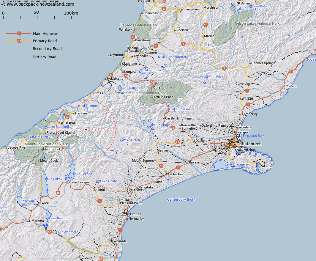
Map showing location of Schrund Peak
LINZ description: Peak on Main Divide 500m south-west of Quoin Peak, and below and to the East of Outram Peak, at the head of Agnes Stream. In Block II Tyndall Survey District (Canterburry) and Block VIII Tyndall Survey District (Westland)
Latitude: -43.344656
Longitude: 170.71007
Northing: 5198364
Easting: 1414395.3
Land District: Canterbury, Westland
Feat Type: Hill
Latitude: -43.344656
Longitude: 170.71007
Northing: 5198364
Easting: 1414395.3
Land District: Canterbury, Westland
Feat Type: Hill

Scroll down to see a more detailed road map and below that a topographical map showing the location of Schrund Peak. The road map has been supplied by openstreetmap and the topographical map of Schrund Peak has been supplied by Land Information New Zealand (LINZ).
Yes you can use the top static map for you school/university project or personal website with a link back. Contact me for any commercial use.
[ A ] [ B ] [ C ] [ D ] [ E ] [ F ] [ G ] [ H ] [ I ] [ J ] [ K ] [ L ] [ M ] [ N ] [ O ] [ P ] [ Q ] [ R ] [ S ] [ T ] [ U ] [ V ] [ W ] [ X ] [ Y ] [ Z ]