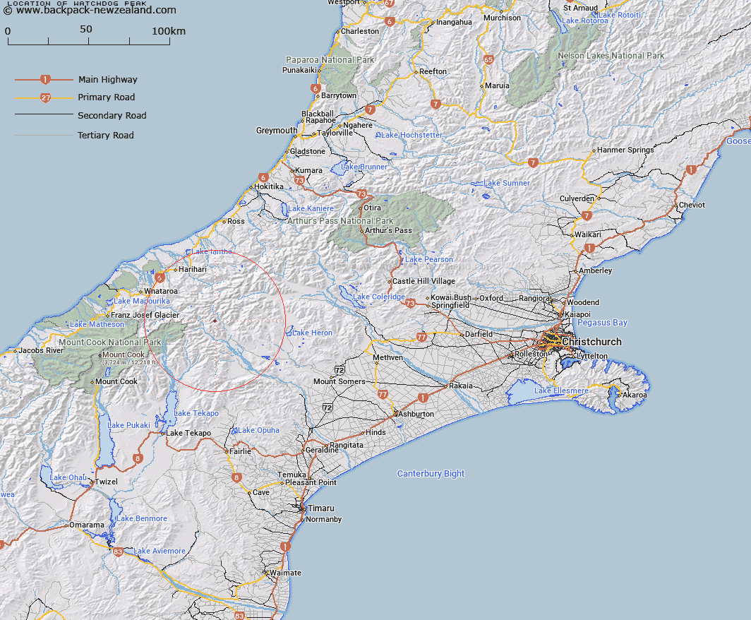
Map showing location of Watchdog Peak
LINZ description: Peak (2079m) East of the Cloudy Peak Range, between Cattle Stream and Argument Creek, and just west of the Clyde River. 5.5km North of Cloudy Peak. Block I Clyde Survey District.
Latitude: -43.412442
Longitude: 170.769162
Northing: 5190965.5
Easting: 1419386.4
Land District: Canterbury
Feat Type: Hill
Latitude: -43.412442
Longitude: 170.769162
Northing: 5190965.5
Easting: 1419386.4
Land District: Canterbury
Feat Type: Hill

Scroll down to see a more detailed road map and below that a topographical map showing the location of Watchdog Peak. The road map has been supplied by openstreetmap and the topographical map of Watchdog Peak has been supplied by Land Information New Zealand (LINZ).
Yes you can use the top static map for you school/university project or personal website with a link back. Contact me for any commercial use.
[ A ] [ B ] [ C ] [ D ] [ E ] [ F ] [ G ] [ H ] [ I ] [ J ] [ K ] [ L ] [ M ] [ N ] [ O ] [ P ] [ Q ] [ R ] [ S ] [ T ] [ U ] [ V ] [ W ] [ X ] [ Y ] [ Z ]