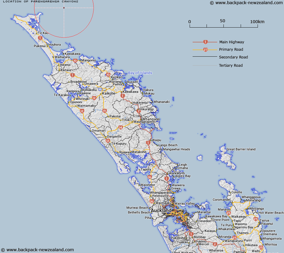
Map showing location of Pārengarenga Canyons
LINZ description: Two canyons on the upper continental slope, extending north-eastwards from approximately 10km east of North Cape (Otou). Depicted on North Cape Chart©, Mitchell & Eade, 1990.
Latitude: -34.3354
Longitude: 173.3261
Northing: 6200606.4
Easting: 1629995.8
Land District: North Auckland
Feat Type: Canyon
Latitude: -34.3354
Longitude: 173.3261
Northing: 6200606.4
Easting: 1629995.8
Land District: North Auckland
Feat Type: Canyon

Scroll down to see a more detailed road map and below that a topographical map showing the location of Pārengarenga Canyons. The road map has been supplied by openstreetmap and the topographical map of Pārengarenga Canyons has been supplied by Land Information New Zealand (LINZ).
Yes you can use the top static map for you school/university project or personal website with a link back. Contact me for any commercial use.
[ A ] [ B ] [ C ] [ D ] [ E ] [ F ] [ G ] [ H ] [ I ] [ J ] [ K ] [ L ] [ M ] [ N ] [ O ] [ P ] [ Q ] [ R ] [ S ] [ T ] [ U ] [ V ] [ W ] [ X ] [ Y ] [ Z ]