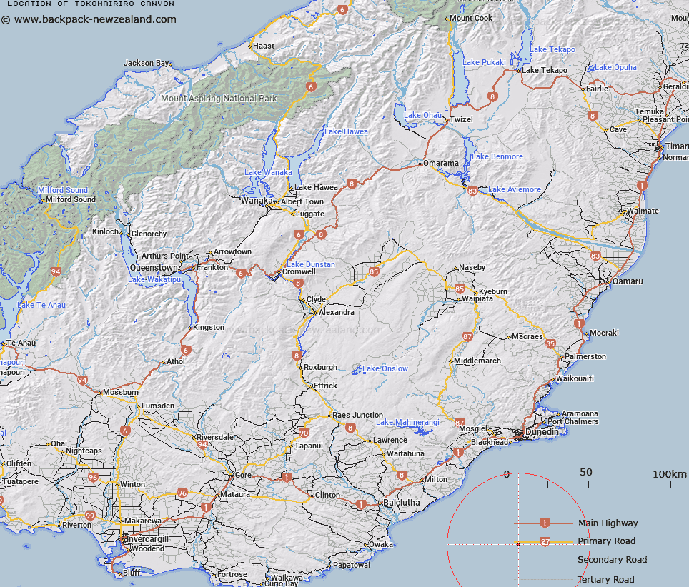
Map showing location of Tokomairiro Canyon
LINZ description: East Coast, South Island. Elongated depression that trends northwest-southeast on the upper continental slope south of Otago Peninsula. Descends from a depth of approximately 250 m to approximately 950 m.
Latitude: -46.45
Longitude: 170.483333
Northing: 4852874.9
Easting: 1406717.5
Land District: Otago
Feat Type: Canyon
Latitude: -46.45
Longitude: 170.483333
Northing: 4852874.9
Easting: 1406717.5
Land District: Otago
Feat Type: Canyon

Scroll down to see a more detailed road map and below that a topographical map showing the location of Tokomairiro Canyon. The road map has been supplied by openstreetmap and the topographical map of Tokomairiro Canyon has been supplied by Land Information New Zealand (LINZ).
Yes you can use the top static map for you school/university project or personal website with a link back. Contact me for any commercial use.
[ A ] [ B ] [ C ] [ D ] [ E ] [ F ] [ G ] [ H ] [ I ] [ J ] [ K ] [ L ] [ M ] [ N ] [ O ] [ P ] [ Q ] [ R ] [ S ] [ T ] [ U ] [ V ] [ W ] [ X ] [ Y ] [ Z ]