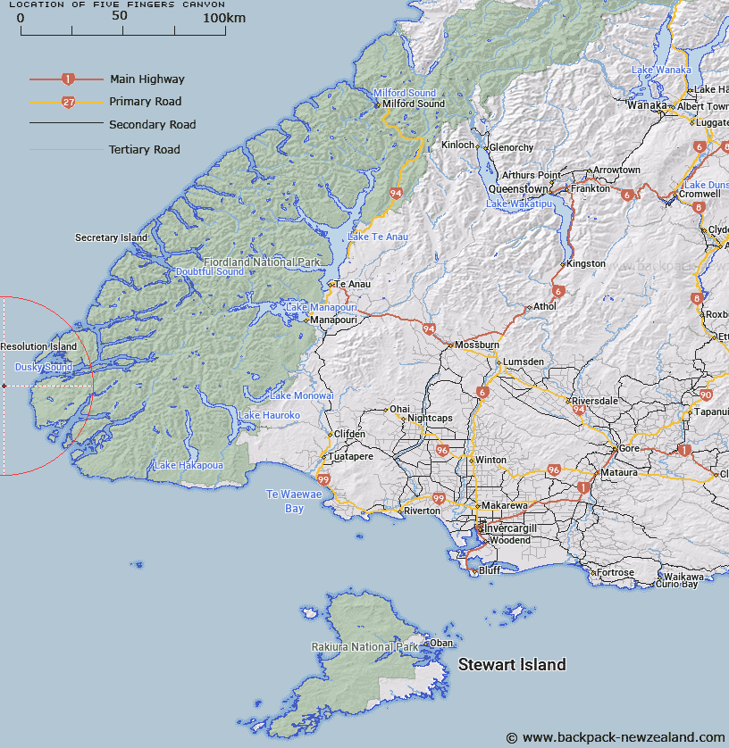
Map showing location of Five Fingers Canyon
LINZ description: Fiordland shelf. A curved canyon west of Dusky Sound, Fiordland. It commences west of Resolution Island, trends southwest, then due west. Reaching a depth of 1450 m.
Latitude: -45.833333
Longitude: 166.313667
Northing: 4902687.7
Easting: 1080744.3
Land District: Southland
Feat Type: Canyon
Latitude: -45.833333
Longitude: 166.313667
Northing: 4902687.7
Easting: 1080744.3
Land District: Southland
Feat Type: Canyon

Scroll down to see a more detailed road map and below that a topographical map showing the location of Five Fingers Canyon. The road map has been supplied by openstreetmap and the topographical map of Five Fingers Canyon has been supplied by Land Information New Zealand (LINZ).
Yes you can use the top static map for you school/university project or personal website with a link back. Contact me for any commercial use.
[ A ] [ B ] [ C ] [ D ] [ E ] [ F ] [ G ] [ H ] [ I ] [ J ] [ K ] [ L ] [ M ] [ N ] [ O ] [ P ] [ Q ] [ R ] [ S ] [ T ] [ U ] [ V ] [ W ] [ X ] [ Y ] [ Z ]