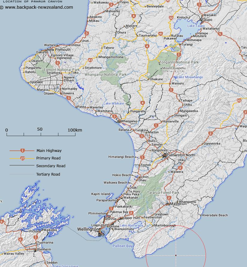
Map showing location of Pahaua Canyon
LINZ description: A canyon incised into the outer continental shelf and continental slope, on the flank of Hikurangi Trough, offshore from the southeast coast of the North Island. It rises from a depth of 2500m to 50m.
Latitude: -41.583261
Longitude: 175.753009
Northing: 5392831.3
Easting: 1829489.9
Land District: Wellington
Feat Type: Canyon
Latitude: -41.583261
Longitude: 175.753009
Northing: 5392831.3
Easting: 1829489.9
Land District: Wellington
Feat Type: Canyon

Scroll down to see a more detailed road map and below that a topographical map showing the location of Pahaua Canyon. The road map has been supplied by openstreetmap and the topographical map of Pahaua Canyon has been supplied by Land Information New Zealand (LINZ).
Yes you can use the top static map for you school/university project or personal website with a link back. Contact me for any commercial use.
[ A ] [ B ] [ C ] [ D ] [ E ] [ F ] [ G ] [ H ] [ I ] [ J ] [ K ] [ L ] [ M ] [ N ] [ O ] [ P ] [ Q ] [ R ] [ S ] [ T ] [ U ] [ V ] [ W ] [ X ] [ Y ] [ Z ]