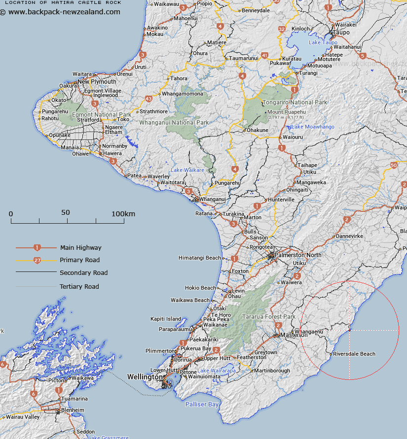
Map showing location of Matira / Castle Rock
LINZ description: A prominent coastal feature, 1km south-west of Castlepoint township, rising to a height of 162m, on which is located a beaconed geodetic mark, coded A40V and named “Castlepoint No 2”. NZTopo50 BP36-Castlepoint, GR 710 662.
Latitude: -40.91173
Longitude: 176.219017
Northing: 5466051.3
Easting: 1871105.6
Land District: Wellington
Feat Type: Coast Feature
Latitude: -40.91173
Longitude: 176.219017
Northing: 5466051.3
Easting: 1871105.6
Land District: Wellington
Feat Type: Coast Feature

Scroll down to see a more detailed road map and below that a topographical map showing the location of Matira / Castle Rock. The road map has been supplied by openstreetmap and the topographical map of Matira / Castle Rock has been supplied by Land Information New Zealand (LINZ).
Yes you can use the top static map for you school/university project or personal website with a link back. Contact me for any commercial use.
[ A ] [ B ] [ C ] [ D ] [ E ] [ F ] [ G ] [ H ] [ I ] [ J ] [ K ] [ L ] [ M ] [ N ] [ O ] [ P ] [ Q ] [ R ] [ S ] [ T ] [ U ] [ V ] [ W ] [ X ] [ Y ] [ Z ]