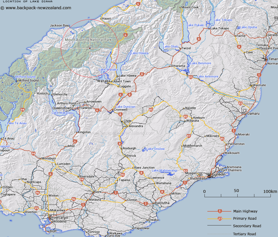
Map showing location of Lake Diana


LINZ description: A small lake, west of the Wilkin River, approximately 2km south of Mt. Pollux. Mt. Pollux Survey District.
Latitude: -44.255978
Longitude: 168.892426
Northing: 5091485.7
Easting: 1272090.5
Land District: Otago
Feat Type: Lake


Scroll down to see a more detailed road map and below that a topographical map showing the location of Lake Diana. The road map has been supplied by openstreetmap and the topographical map of Lake Diana has been supplied by Land Information New Zealand (LINZ).

Yes you can use the top static map for you school/university project or personal website with a link back. Contact me for any commercial use.

Lake Diana Map New Zealand


New Zealand places in our database
[ A ] [ B ] [ C ] [ D ] [ E ] [ F ] [ G ] [ H ] [ I ] [ J ] [ K ] [ L ] [ M ] [ N ] [ O ] [ P ] [ Q ] [ R ] [ S ] [ T ] [ U ] [ V ] [ W ] [ X ] [ Y ] [ Z ]


Closest 20 Lakes to Lake Diana

Lucidus Lake ( 1.78km )   Lucidus Lake ( 2.07km )   Lake Castalia ( 4.35km )   Crucible Lake ( 12.79km )   Cloudmaker Lake ( 14.7km )   Charlies Ponds ( 15.69km )   Lake Greaney ( 20.04km )   Minim Mere ( 20.66km )   Lake Bux ( 21.03km )   Lake Porm ( 21.24km )   Lake Dan ( 21.91km )   Lake Leeb ( 22.22km )   Lake Nisson ( 27.11km )   Lake Mary ( 27.88km )   Lake Ellery ( 29.45km )   The Neck Lagoon ( 31.19km )   Disappearing Lake ( 31.95km )   Waiatoto Lagoon ( 31.97km )   Lake Hamer ( 32.35km )   Smiths Ponds ( 33.1km )   Woodhen Pond ( 33.77km )   Boil Hole ( 33.99km )   Oanaka ( 35.34km )   Lake Wanaka ( 35.34km )   Lake Douglas ( 35.79km )   Theta Tarn ( 36.03km )   Lake Eggeling ( 36.24km )   Delta Tarn ( 36.24km )   Arethusa Pool ( 36.44km )   Macs Lagoon ( 37.09km )   Lake Barra ( 42.42km )   Lake Williamson ( 42.67km )   Lake Hawea ( 43.1km )   Lake H?wea ( 43.1km )   Lochnagar ( 43.72km )   Diamond Lake ( 43.9km )   Crescent Lake ( 46.25km )   Lake Jumbuck ( 47.1km )   Tawharekiri Lakes ( 50.2km )   Lindsays Tarn ( 51.7km )