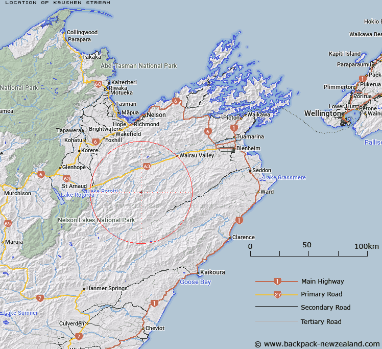
Map showing location of Krushen Stream
LINZ description: Right bank tributary of Boulder Stream rising on the South-western slopes of Pinnacle Peak, flowing South-westward and joining Boulder Stream 3km North by North-east of Trig. RS (Geodetic Code A44F). Blocks XI and XII, Leatham Survey District.
Latitude: -41.825296
Longitude: 173.260128
Northing: 5369587.9
Easting: 1621602
Land District: Marlborough
Feat Type: Stream
Latitude: -41.825296
Longitude: 173.260128
Northing: 5369587.9
Easting: 1621602
Land District: Marlborough
Feat Type: Stream

Scroll down to see a more detailed road map and below that a topographical map showing the location of Krushen Stream. The road map has been supplied by openstreetmap and the topographical map of Krushen Stream has been supplied by Land Information New Zealand (LINZ).
Yes you can use the top static map for you school/university project or personal website with a link back. Contact me for any commercial use.
[ A ] [ B ] [ C ] [ D ] [ E ] [ F ] [ G ] [ H ] [ I ] [ J ] [ K ] [ L ] [ M ] [ N ] [ O ] [ P ] [ Q ] [ R ] [ S ] [ T ] [ U ] [ V ] [ W ] [ X ] [ Y ] [ Z ]