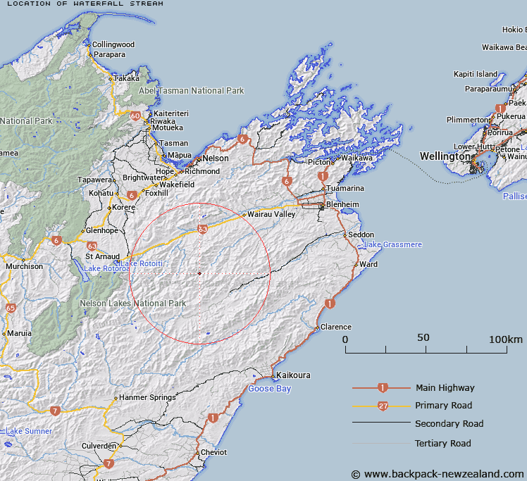
Map showing location of Waterfall Stream
LINZ description: Left bank tributary of the Waihopai River rising 3.75km East by North-east of Trig. RS (Geodetic Code A44F), flowing generally southward, and joining Waihopai River 4km downstream of Cow Stream. Blocks XII and XVI, Leatham Survey District.
Latitude: -41.872179
Longitude: 173.286041
Northing: 5364375.9
Easting: 1623736.6
Land District: Marlborough
Feat Type: Stream
Latitude: -41.872179
Longitude: 173.286041
Northing: 5364375.9
Easting: 1623736.6
Land District: Marlborough
Feat Type: Stream

Scroll down to see a more detailed road map and below that a topographical map showing the location of Waterfall Stream. The road map has been supplied by openstreetmap and the topographical map of Waterfall Stream has been supplied by Land Information New Zealand (LINZ).
Yes you can use the top static map for you school/university project or personal website with a link back. Contact me for any commercial use.
[ A ] [ B ] [ C ] [ D ] [ E ] [ F ] [ G ] [ H ] [ I ] [ J ] [ K ] [ L ] [ M ] [ N ] [ O ] [ P ] [ Q ] [ R ] [ S ] [ T ] [ U ] [ V ] [ W ] [ X ] [ Y ] [ Z ]