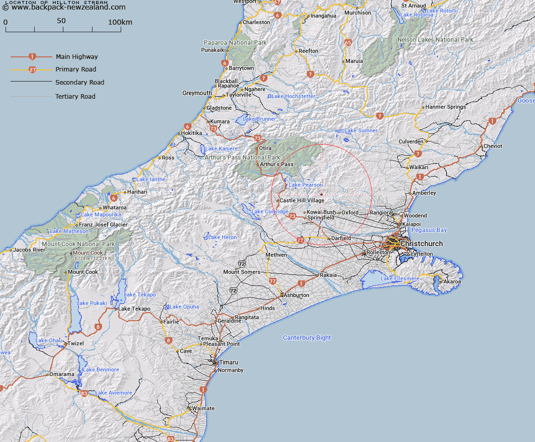
Map showing location of Millton Stream


LINZ description: Right bank tributary of Shifton Stream, rising on the East of Trig. T (Geodetic Code B2ME)], flowing South-eastward and joining Shifton Stream 2.5km upstream of Townshend River. Blocks IX and X Upper Ashley Survey District.
Latitude: -43.164233
Longitude: 172.055167
Northing: 5220513.9
Easting: 1523193.4
Land District: Canterbury
Feat Type: Stream


Scroll down to see a more detailed road map and below that a topographical map showing the location of Millton Stream. The road map has been supplied by openstreetmap and the topographical map of Millton Stream has been supplied by Land Information New Zealand (LINZ).

Yes you can use the top static map for you school/university project or personal website with a link back. Contact me for any commercial use.

Millton Stream Map New Zealand


New Zealand places in our database
[ A ] [ B ] [ C ] [ D ] [ E ] [ F ] [ G ] [ H ] [ I ] [ J ] [ K ] [ L ] [ M ] [ N ] [ O ] [ P ] [ Q ] [ R ] [ S ] [ T ] [ U ] [ V ] [ W ] [ X ] [ Y ] [ Z ]


Closest 20 Streams to Millton Stream

Milton Stream ( 0.77km )   Shifton Stream ( 1.13km )   Townshend River ( 2.79km )   Storm Stream ( 3.14km )   Moody Stream ( 4.41km )   Harman Stream ( 4.5km )   Dobson Stream ( 5.24km )   Mannering Stream ( 5.3km )   Five Gully Stream ( 6.08km )   Salmon Creek ( 6.57km )   Snowdale Stream ( 6.58km )   Chest Peak Stream ( 6.9km )   Cunningham Stream ( 7.16km )   Keats Stream ( 7.37km )   Whistler River ( 8.99km )   Foster Stream ( 9.09km )   East Branch Coopers Creek ( 9.2km )   Coal Creek ( 9.21km )   Oxford Creek ( 9.34km )   Kinnebrooks Stream ( 9.85km )   West Branch Coopers Creek ( 9.86km )   Kingsdown Stream ( 10.23km )   Big Ben Stream ( 10.27km )   Dog Leg Stream ( 10.37km )   Newton Stream ( 10.69km )   Broom Stream ( 10.77km )   Broadleaf Stream ( 10.94km )   Cascade Stream ( 11.36km )   Eyre River ( 11.44km )   White Stream ( 11.7km )   Boundary Stream ( 11.84km )   Waterfall Stream ( 11.9km )   Waterfall Creek ( 11.9km )   Dorman Stream ( 12.09km )   Pember Stream ( 12.33km )   Ladbrook Stream ( 12.42km )   Chasm Stream ( 12.53km )   Billy Stream ( 12.64km )   Wharfedale Stream ( 12.64km )   Blakistons Stream ( 12.69km )