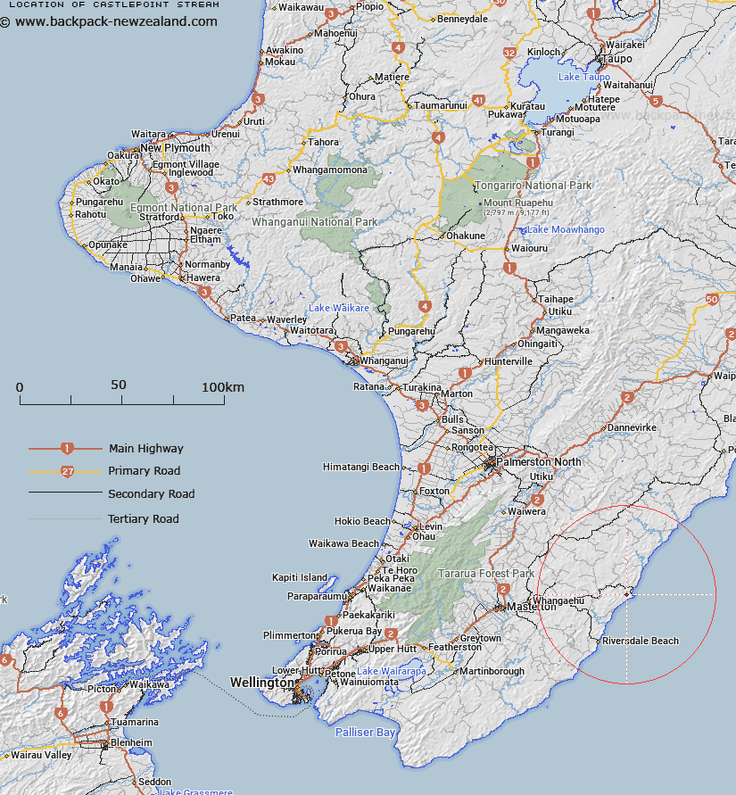
Map showing location of Castlepoint Stream


LINZ description: A stream that flows generally southeast, for approximately 6km, from near the summit of Haldon (hill) into theWairarapa coast at Castlepoint (locality). Feature shown on: NZMS260 U26 Edition 1 1978; NZTopo50-BP36 668700 to 713675
Latitude: -40.895321
Longitude: 176.194474
Northing: 5467949.1
Easting: 1869104.9
Land District: Wellington
Feat Type: Stream


Scroll down to see a more detailed road map and below that a topographical map showing the location of Castlepoint Stream. The road map has been supplied by openstreetmap and the topographical map of Castlepoint Stream has been supplied by Land Information New Zealand (LINZ).

Yes you can use the top static map for you school/university project or personal website with a link back. Contact me for any commercial use.

Castlepoint Stream Map New Zealand


New Zealand places in our database
[ A ] [ B ] [ C ] [ D ] [ E ] [ F ] [ G ] [ H ] [ I ] [ J ] [ K ] [ L ] [ M ] [ N ] [ O ] [ P ] [ Q ] [ R ] [ S ] [ T ] [ U ] [ V ] [ W ] [ X ] [ Y ] [ Z ]


Closest 20 Streams to Castlepoint Stream

Ngakauau Stream ( 3.71km )   Kaingaake Stream ( 5.38km )   Pukeatua Stream ( 5.41km )   Whakataki River ( 6.24km )   Otahome Stream ( 6.37km )   Te Wakaaraho Stream ( 7.22km )   Motupaua Stream ( 7.4km )   Okau Stream ( 7.52km )   Bush Hill Stream ( 8.71km )   Tinui River ( 9.83km )   Dog Spur Creek ( 12.27km )   Waimimi Stream ( 12.28km )   Mascot Stream ( 12.34km )   Glenfalloch Stream ( 13.27km )   Takiritini Stream ( 13.62km )   Rewa Rewa Stream ( 14.12km )   Pavitt Stream ( 14.22km )   Flag Creek ( 14.58km )   Whakarora Stream ( 16.21km )   Balfour Stream ( 16.4km )   Marangai Stream ( 16.49km )   Whareama River ( 16.93km )   Mangapokia Stream ( 17.14km )   Mangapokio Stream ( 17.14km )   Morepork Stream ( 17.14km )   Smoky Gully Stream ( 17.36km )   Waipu Stream ( 17.54km )   Bute Stream ( 17.66km )   Vee Stream ( 17.91km )   Centre Stream ( 17.98km )   Makirikiri Stream ( 18.05km )   South Branch Makirikiri Stream ( 18.34km )   Kohiwai Stream ( 18.49km )   North Branch Makirikiri Stream ( 19.05km )   Target Stream ( 19.12km )   Waipaua Stream ( 19.28km )   Mataikona River ( 19.43km )   Annedale Stream ( 19.66km )   Ratanui Stream ( 19.91km )   Bushgrove Stream ( 20.39km )