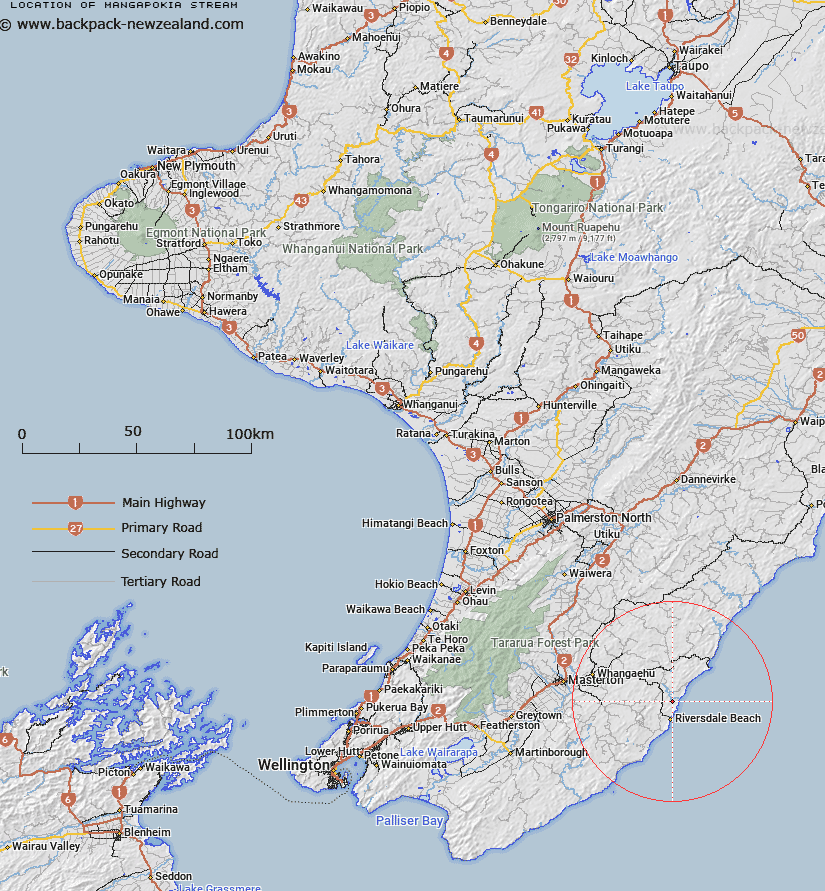
Map showing location of Mangapokia Stream


LINZ description: Tributary of the Whareama River, joining it on the left bank, 1.75km from the mouth. Rewa Survey District.
Latitude: -41.023541
Longitude: 176.081084
Northing: 5454055.5
Easting: 1859049.2
Land District: Wellington
Feat Type: Stream


Scroll down to see a more detailed road map and below that a topographical map showing the location of Mangapokia Stream. The road map has been supplied by openstreetmap and the topographical map of Mangapokia Stream has been supplied by Land Information New Zealand (LINZ).

Yes you can use the top static map for you school/university project or personal website with a link back. Contact me for any commercial use.

Mangapokia Stream Map New Zealand


New Zealand places in our database
[ A ] [ B ] [ C ] [ D ] [ E ] [ F ] [ G ] [ H ] [ I ] [ J ] [ K ] [ L ] [ M ] [ N ] [ O ] [ P ] [ Q ] [ R ] [ S ] [ T ] [ U ] [ V ] [ W ] [ X ] [ Y ] [ Z ]


Closest 20 Streams to Mangapokia Stream

Kohiwai Stream ( 2.93km )   Kororiki Stream ( 3.9km )   Waipupu Stream ( 4.36km )   Waimimi Stream ( 4.89km )   Motuwaireka Stream ( 5.79km )   Waihora Stream ( 7.34km )   Mangapiuiti Stream ( 10.7km )   Mangapiu Stream ( 10.98km )   Otahome Stream ( 11.32km )   Waioronu Stream ( 11.36km )   Makahaka Stream ( 11.47km )   Blairlogie Stream ( 11.54km )   Bush Hill Stream ( 12.41km )   Awatiritiri Stream ( 13.21km )   Waipapa Stream ( 13.39km )   Patanui Stream ( 14.1km )   Wainuiora River ( 14.47km )   Ngakauau Stream ( 15.25km )   Waikaraka Stream ( 15.39km )   Marangai Stream ( 16.15km )   Totara Stream ( 16.23km )   Tinui River ( 16.44km )   Kopi Stream ( 16.57km )   Kamokapuna Stream ( 16.89km )   Kaimokopuna Stream ( 16.89km )   Biscuit Stream ( 16.97km )   Bushgrove Stream ( 17.08km )   Castlepoint Stream ( 17.14km )   Balfour Stream ( 17.29km )   Stony Creek ( 17.45km )   Whakarora Stream ( 18.03km )   Whakatahine River ( 18.19km )   Mangapakia Stream ( 18.42km )   Mangapakeha Stream ( 18.42km )   Flag Creek ( 18.88km )   Bute Stream ( 18.91km )   Kaumingi Stream ( 19.12km )   Gentle Annie Stream ( 19.31km )   Rorokoko Stream ( 19.42km )   Te Wakaaraho Stream ( 19.59km )