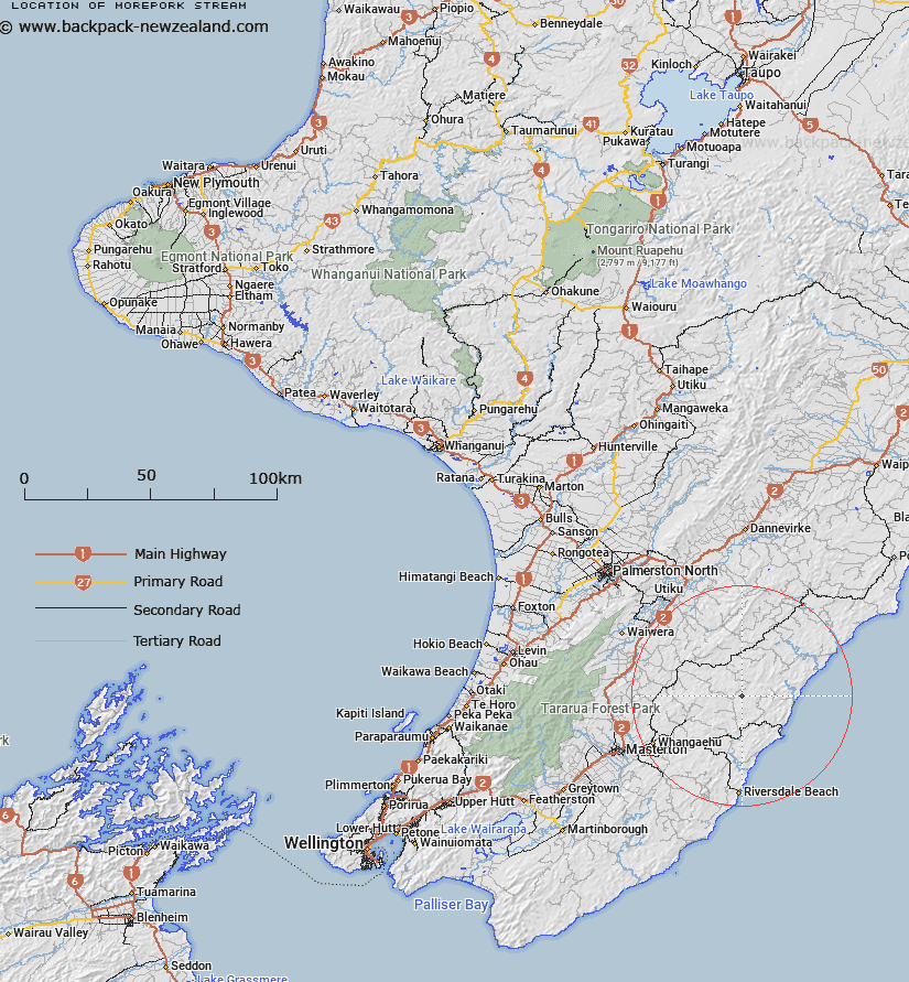
Map showing location of Morepork Stream


LINZ description: Left bank tributary of Whareama River rising 250m North-east of Trig. Hill End (Geodetic Code A407), flowing generally northward and joining Whareama River 750m East North-east of Trig. Gunpowder (Geodetic Code AJLD). Blocks IV and VIII Mangapakeha Survey District.
Latitude: -40.766243
Longitude: 176.083014
Northing: 5482617.8
Easting: 1860218.8
Land District: Wellington
Feat Type: Stream


Scroll down to see a more detailed road map and below that a topographical map showing the location of Morepork Stream. The road map has been supplied by openstreetmap and the topographical map of Morepork Stream has been supplied by Land Information New Zealand (LINZ).

Yes you can use the top static map for you school/university project or personal website with a link back. Contact me for any commercial use.

Morepork Stream Map New Zealand


New Zealand places in our database
[ A ] [ B ] [ C ] [ D ] [ E ] [ F ] [ G ] [ H ] [ I ] [ J ] [ K ] [ L ] [ M ] [ N ] [ O ] [ P ] [ Q ] [ R ] [ S ] [ T ] [ U ] [ V ] [ W ] [ X ] [ Y ] [ Z ]


Closest 20 Streams to Morepork Stream

Waipu Stream ( 1.12km )   Ratanui Stream ( 3.32km )   Whareama River ( 3.45km )   Annedale Stream ( 3.49km )   Axehandle Stream ( 3.73km )   Bluegum Stream ( 3.73km )   Woody Gully Stream ( 3.8km )   Takiritini Stream ( 6.31km )   Vee Stream ( 6.79km )   Wingate Stream ( 6.95km )   Makirikiri Stream ( 8.12km )   North Branch Makirikiri Stream ( 8.48km )   Rewa Rewa Stream ( 9.31km )   South Branch Makirikiri Stream ( 9.6km )   Motupaua Stream ( 9.76km )   Makorua Stream ( 9.92km )   Centre Stream ( 10.2km )   Te Wakaaraho Stream ( 10.3km )   Tauweru River ( 10.73km )   Flag Creek ( 11.26km )   Glenfalloch Stream ( 11.27km )   Waitawhiti Stream ( 11.35km )   Target Stream ( 11.41km )   Pakowhai River ( 11.58km )   Pavitt Stream ( 11.7km )   Pukeatua Stream ( 11.79km )   Whakataki River ( 11.82km )   Mascot Stream ( 11.95km )   Tinui River ( 12.18km )   Smoky Gully Stream ( 12.28km )   Wainuiomapu Stream ( 12.29km )   Whakarora Stream ( 13.52km )   Awatauira Stream ( 13.57km )   Kaingaake Stream ( 13.66km )   Mataikona River ( 13.96km )   Bute Stream ( 13.97km )   Dog Spur Creek ( 14.05km )   Okau Stream ( 14.25km )   Balfour Stream ( 14.49km )   Makatote Stream ( 14.6km )