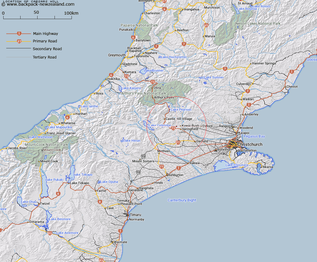
Map showing location of Caesars Hill
LINZ description: Low Hill between the Little Kowai and the Rubicon River, 3.3km East of Lake Rubicon, 1.25km North-east of Trig. L (Geodetic Code AA49). Block VII Kowai Survey District.
Latitude: -43.299648
Longitude: 171.873609
Northing: 5205293
Easting: 1508636.7
Land District: Canterbury
Feat Type: Hill
Latitude: -43.299648
Longitude: 171.873609
Northing: 5205293
Easting: 1508636.7
Land District: Canterbury
Feat Type: Hill

Scroll down to see a more detailed road map and below that a topographical map showing the location of Caesars Hill. The road map has been supplied by openstreetmap and the topographical map of Caesars Hill has been supplied by Land Information New Zealand (LINZ).
Yes you can use the top static map for you school/university project or personal website with a link back. Contact me for any commercial use.
[ A ] [ B ] [ C ] [ D ] [ E ] [ F ] [ G ] [ H ] [ I ] [ J ] [ K ] [ L ] [ M ] [ N ] [ O ] [ P ] [ Q ] [ R ] [ S ] [ T ] [ U ] [ V ] [ W ] [ X ] [ Y ] [ Z ]