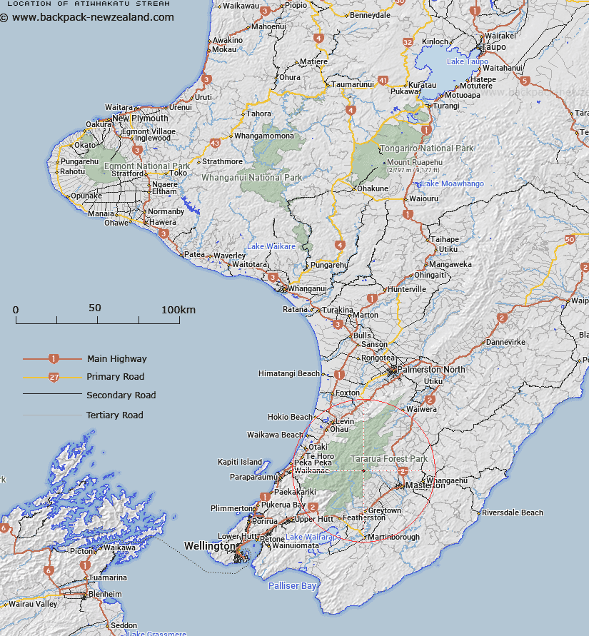
Map showing location of Atiwhakatu Stream


LINZ description: A Steam that flows generally southeast for approximately 17km from the slopes of McGregor (hill) in Tararua Range to its confluence with Waingawa River. NZTopo50-BP34 040759 to BP 132699
Latitude: -40.870886
Longitude: 175.453649
Northing: 5472677.7
Easting: 1806767
Land District: Wellington
Feat Type: Stream


Scroll down to see a more detailed road map and below that a topographical map showing the location of Atiwhakatu Stream. The road map has been supplied by openstreetmap and the topographical map of Atiwhakatu Stream has been supplied by Land Information New Zealand (LINZ).

Yes you can use the top static map for you school/university project or personal website with a link back. Contact me for any commercial use.

Atiwhakatu Stream Map New Zealand


New Zealand places in our database
[ A ] [ B ] [ C ] [ D ] [ E ] [ F ] [ G ] [ H ] [ I ] [ J ] [ K ] [ L ] [ M ] [ N ] [ O ] [ P ] [ Q ] [ R ] [ S ] [ T ] [ U ] [ V ] [ W ] [ X ] [ Y ] [ Z ]


Closest 20 Streams to Atiwhakatu Stream

Atiwhakatu Stream ( 0km )   Fall Stream ( 1.51km )   Holdsworth Creek ( 2.13km )   Blake Stream ( 4.18km )   Gentle Annie Creek ( 4.19km )   Baldy Creek ( 4.37km )   Stoney Creek ( 4.61km )   Isabelle Creek ( 5.53km )   Francis Creek ( 5.92km )   Kiddie Creek ( 6.04km )   North Branch Mangatere River ( 6.09km )   Carrington Creek ( 6.09km )   Red Rock Creek ( 6.69km )   Totara Creek ( 6.82km )   Dorset Creek ( 7.07km )   Angle Knob Creek ( 7.15km )   Peggy Stream ( 7.45km )   South Mitre Stream ( 7.46km )   Black Creek ( 7.86km )   Donald Stream ( 8.19km )   North Mitre Stream ( 8.65km )   Muir Creek ( 8.67km )   Mikimiki Stream ( 8.93km )   Wakamoekau Creek ( 9.11km )   Mangahuka Stream ( 9.44km )   Maungahuka Stream ( 9.44km )   Crawford Creek ( 9.67km )   Sayer Creek ( 9.69km )   Aokaparangi Creek ( 10.55km )   Kahiwiroa Stream ( 10.57km )   Reef Creek ( 10.59km )   Waingawa River ( 10.69km )   Kaipaitangata Stream ( 10.96km )   Cow Creek ( 11.1km )   Park River ( 11.14km )   Kiriwhakapapa Stream ( 11.4km )   Whatiuru Creek ( 11.46km )   Deep Creek ( 11.51km )   Makaka Creek ( 11.95km )   Makaka Creek (Long Flat Creek) ( 12.01km )