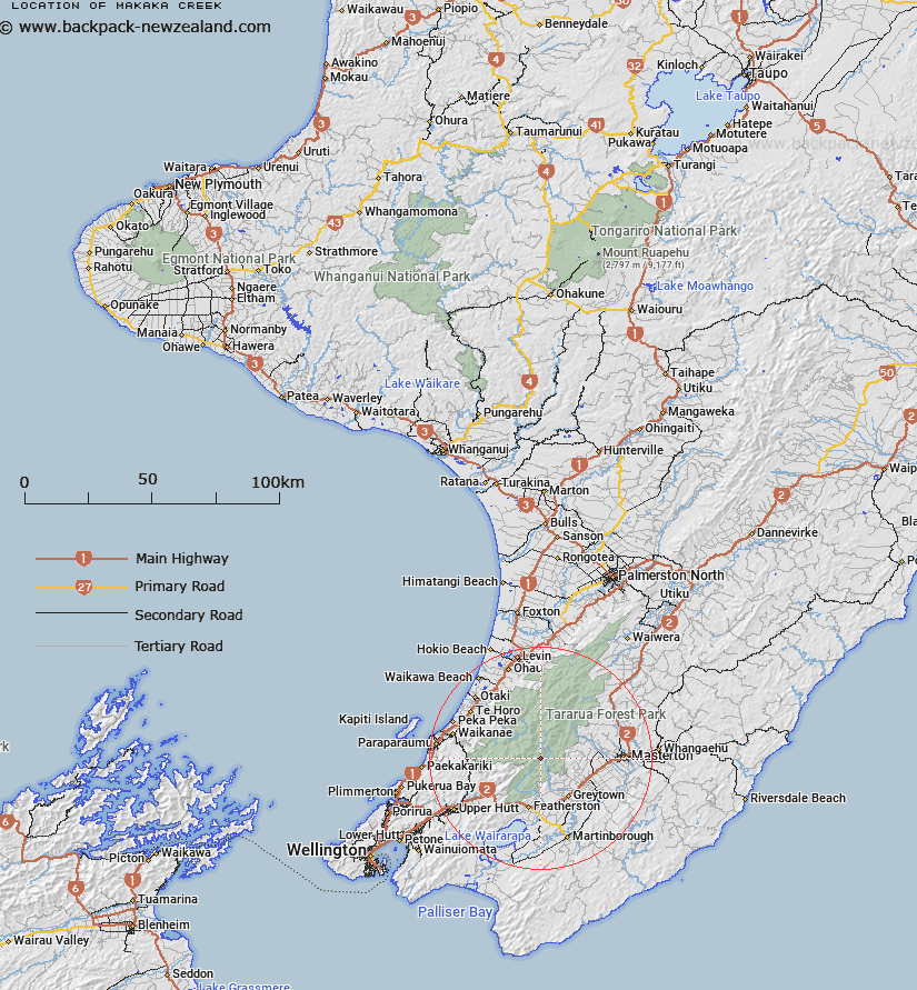
Map showing location of Makaka Creek
LINZ description: Right bank tributary of Waiohine River rising on the South-eastern slopes of Cone Ridge, 1km North-east of Cone Peak [Trig. Q (Geodetic Code AJEK)], flowing South-eastward and joining Waiohine River 1.5km upstream of Clem Creek. Block II, Waiohine Survey District.
Latitude: -40.95649
Longitude: 175.367598
Northing: 5463373.5
Easting: 1799257.6
Land District: Wellington
Feat Type: Stream
Latitude: -40.95649
Longitude: 175.367598
Northing: 5463373.5
Easting: 1799257.6
Land District: Wellington
Feat Type: Stream

Scroll down to see a more detailed road map and below that a topographical map showing the location of Makaka Creek. The road map has been supplied by openstreetmap and the topographical map of Makaka Creek has been supplied by Land Information New Zealand (LINZ).
Yes you can use the top static map for you school/university project or personal website with a link back. Contact me for any commercial use.
[ A ] [ B ] [ C ] [ D ] [ E ] [ F ] [ G ] [ H ] [ I ] [ J ] [ K ] [ L ] [ M ] [ N ] [ O ] [ P ] [ Q ] [ R ] [ S ] [ T ] [ U ] [ V ] [ W ] [ X ] [ Y ] [ Z ]