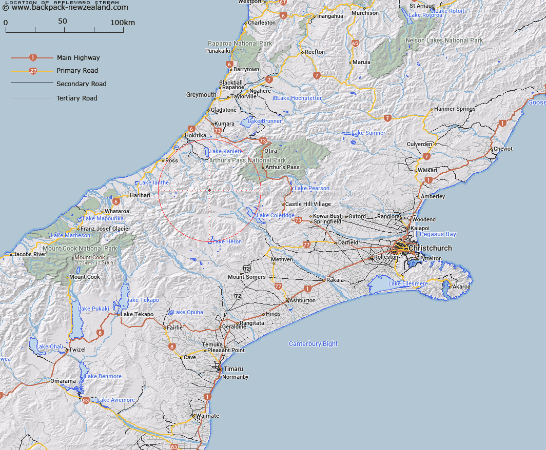
Map showing location of Appleyard Stream
LINZ description: Right bank headwater tributary of North Mathias River, rising in the Rolleston Range 1.5km North-east of Mount Williams, flowing eastward and joining North Mathias River 800m downstream of Canyon Creek. Block III Mathias Survey District.
Latitude: -43.10804
Longitude: 171.166203
Northing: 5225555.4
Easting: 1450790.7
Land District: Canterbury
Feat Type: Stream
Latitude: -43.10804
Longitude: 171.166203
Northing: 5225555.4
Easting: 1450790.7
Land District: Canterbury
Feat Type: Stream

Scroll down to see a more detailed road map and below that a topographical map showing the location of Appleyard Stream. The road map has been supplied by openstreetmap and the topographical map of Appleyard Stream has been supplied by Land Information New Zealand (LINZ).
Yes you can use the top static map for you school/university project or personal website with a link back. Contact me for any commercial use.
[ A ] [ B ] [ C ] [ D ] [ E ] [ F ] [ G ] [ H ] [ I ] [ J ] [ K ] [ L ] [ M ] [ N ] [ O ] [ P ] [ Q ] [ R ] [ S ] [ T ] [ U ] [ V ] [ W ] [ X ] [ Y ] [ Z ]