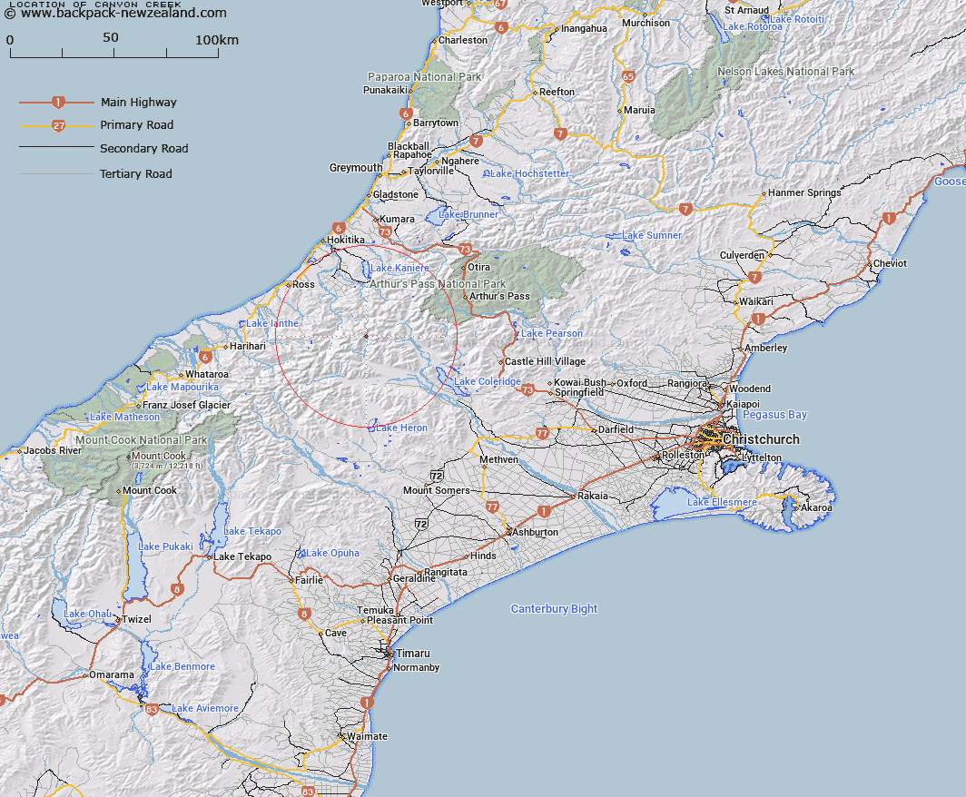
Map showing location of Canyon Creek


LINZ description: Stream flowing southerly and easterly from North-east of Mathias Pass into North Mathias River. Owen Survey District.
Latitude: -43.105679
Longitude: 171.145731
Northing: 5225781
Easting: 1449119.1
Land District: Canterbury
Feat Type: Stream


Scroll down to see a more detailed road map and below that a topographical map showing the location of Canyon Creek. The road map has been supplied by openstreetmap and the topographical map of Canyon Creek has been supplied by Land Information New Zealand (LINZ).

Yes you can use the top static map for you school/university project or personal website with a link back. Contact me for any commercial use.

Canyon Creek Map New Zealand


New Zealand places in our database
[ A ] [ B ] [ C ] [ D ] [ E ] [ F ] [ G ] [ H ] [ I ] [ J ] [ K ] [ L ] [ M ] [ N ] [ O ] [ P ] [ Q ] [ R ] [ S ] [ T ] [ U ] [ V ] [ W ] [ X ] [ Y ] [ Z ]


Closest 20 Streams to Canyon Creek

Appleyard Stream ( 1.68km )   Boundary Creek ( 4.74km )   North Mathias River ( 4.94km )   Steadman Creek ( 5.16km )   Tub Creek ( 5.72km )   Sir Robert Creek ( 5.82km )   West Mathias River ( 6.56km )   Harcourt Creek ( 6.7km )   Grant Creek ( 7.08km )   Revell Stream ( 7.26km )   Chinky Creek ( 7.38km )   Mungo River ( 7.42km )   No. 1 Stream ( 7.57km )   Eta Creek ( 7.64km )   Theta Creek ( 7.71km )   Rice Creek ( 7.78km )   Carl Creek ( 7.82km )   No. 2 Stream ( 7.86km )   No. 3 Stream ( 8.01km )   Detour Creek ( 8.07km )   No. 4 Stream ( 8.08km )   No. 5 Stream ( 8.12km )   Director Creek ( 8.12km )   Moraine Creek ( 8.15km )   Poet Creek ( 8.17km )   Beta Creek ( 8.29km )   Saddle Creek ( 8.39km )   North Stream ( 8.52km )   Swag Creek ( 8.58km )   Brunswick Creek ( 8.6km )   Saddle Creek ( 8.67km )   Vincent Creek ( 8.85km )   Darby Creek ( 8.95km )   Haricot Creek ( 8.99km )   Transport Creek ( 8.99km )   Lead Creek ( 9.18km )   Moa Stream ( 9.19km )   Unknown Stream ( 9.21km )   Frew Creek ( 9.4km )   Pukeko Stream ( 9.6km )