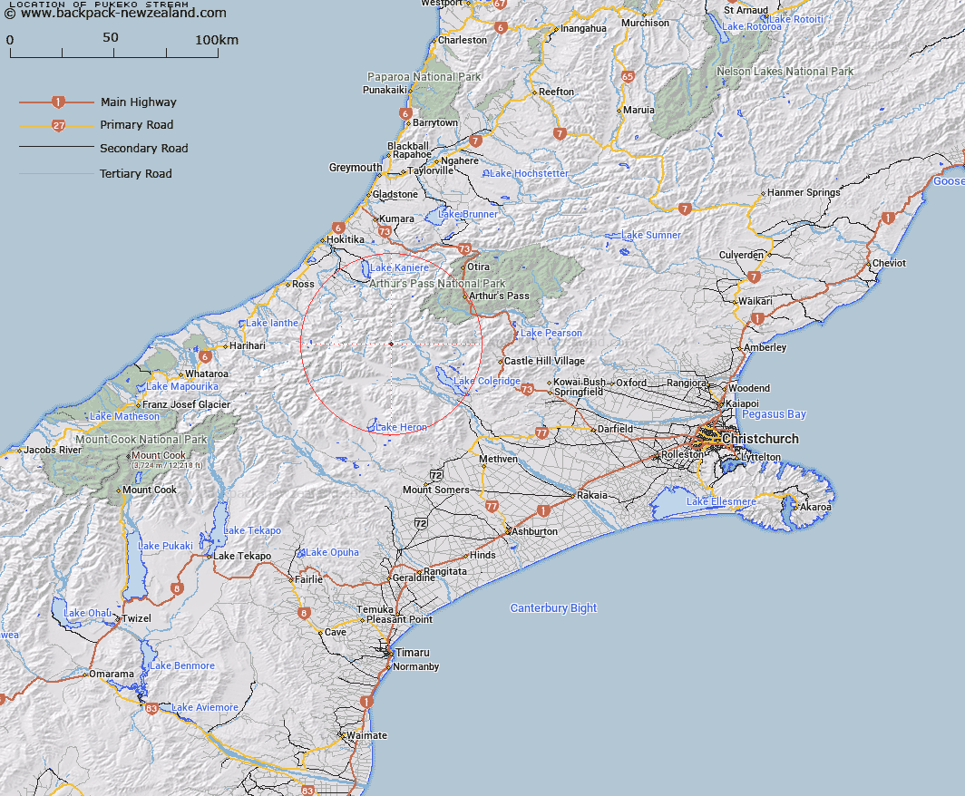
Map showing location of Pukeko Stream
LINZ description: Right bank tributary of Moa Stream, rising in the Rolleston Range, 4.5km south-east of Mount Williams, flowing North-eastward, and joining Moa Stream 5.5km upstream of Wilberforce River. Block IX Wilberforce Survey District.
Latitude: -43.138588
Longitude: 171.255119
Northing: 5222317.4
Easting: 1458096.2
Land District: Canterbury
Feat Type: Stream
Latitude: -43.138588
Longitude: 171.255119
Northing: 5222317.4
Easting: 1458096.2
Land District: Canterbury
Feat Type: Stream

Scroll down to see a more detailed road map and below that a topographical map showing the location of Pukeko Stream. The road map has been supplied by openstreetmap and the topographical map of Pukeko Stream has been supplied by Land Information New Zealand (LINZ).
Yes you can use the top static map for you school/university project or personal website with a link back. Contact me for any commercial use.
[ A ] [ B ] [ C ] [ D ] [ E ] [ F ] [ G ] [ H ] [ I ] [ J ] [ K ] [ L ] [ M ] [ N ] [ O ] [ P ] [ Q ] [ R ] [ S ] [ T ] [ U ] [ V ] [ W ] [ X ] [ Y ] [ Z ]