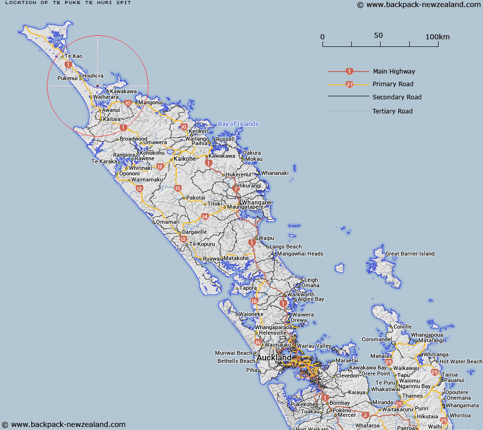
Map showing location of Te Puke te Huri Spit


LINZ description: A shoal in Rangaunu Bay, Northland. Depicted on Chart NZ 5113.
Latitude: -34.8678
Longitude: 173.243
Northing: 6141590.3
Easting: 1622209.8
Land District: North Auckland
Feat Type: Shoal


Scroll down to see a more detailed road map and below that a topographical map showing the location of Te Puke te Huri Spit. The road map has been supplied by openstreetmap and the topographical map of Te Puke te Huri Spit has been supplied by Land Information New Zealand (LINZ).

Yes you can use the top static map for you school/university project or personal website with a link back. Contact me for any commercial use.

Te Puke te Huri Spit Map New Zealand


New Zealand places in our database
[ A ] [ B ] [ C ] [ D ] [ E ] [ F ] [ G ] [ H ] [ I ] [ J ] [ K ] [ L ] [ M ] [ N ] [ O ] [ P ] [ Q ] [ R ] [ S ] [ T ] [ U ] [ V ] [ W ] [ X ] [ Y ] [ Z ]


Closest 20 Shoals to Te Puke te Huri Spit

Ruahine Shoal ( 53.16km )   Slains Castle ( 82.76km )   Maratea Shoals ( 126.51km )   Dragon Teeth Shoals ( 126.51km )   North Spit ( 182.85km )   Outer Southern Shoal ( 187.3km )   Tory Shoal ( 188.25km )   Southern Shoals ( 190.18km )   South Spit ( 192.92km )   Iris Shoal ( 221.6km )   Eclipse Shoal ( 222.44km )   Albert Shoal ( 225.1km )   Western Shoals ( 266.86km )   Penguin Shoal ( 399.12km )   Brewis Shoal ( 411.92km )   Tokeroa Shoal ( 429.3km )   Town Shoals ( 429.33km )   Motunau Patch ( 431.11km )   H?wini Rocks ( 636.06km )   Scott Shoal ( 641.81km )   Price Shoal ( 644.53km )   Paturau Shoal ( 645.19km )   Kahurangi Shoals ( 651.48km )   Tarapunga Shoal ( 686.16km )   The Bridge ( 706.57km )   Perano Shoal ( 710.99km )   Hope Shoal ( 728.73km )   Falcon Shoals ( 729.57km )   Ruby Shoal ( 838.43km )   Middle Shoal ( 1159.4km )   Outer Shoal ( 1162.3km )   Davey Shoal ( 1367.98km )   Entrance Shoal ( 1369.38km )   Lachlan Shoals ( 1390.04km )   Wairau Shoal ( 1393.47km )   Polybank Shoal ( 1397.65km )   Mason Shallows ( 1412.4km )