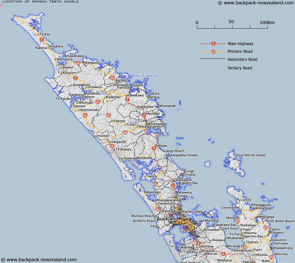
Map showing location of Dragon Teeth Shoals
LINZ description: Group of three shoals southeast of Tasman Bay, Manawatāwhi/Great Island. NZTopo50-AS21-AS22 222190 and 34°10′00″S Latitude 172°09′20″E Longitude. Alteration from Dragon Teeth Shoals (recorded) shown on chart NZ 4111. Charted to 1.6 m.
Latitude: -34.166667
Longitude: 172.155556
Northing: 6219042
Easting: 1522169
Land District: North Auckland
Feat Type: Shoal
Latitude: -34.166667
Longitude: 172.155556
Northing: 6219042
Easting: 1522169
Land District: North Auckland
Feat Type: Shoal

Scroll down to see a more detailed road map and below that a topographical map showing the location of Dragon Teeth Shoals. The road map has been supplied by openstreetmap and the topographical map of Dragon Teeth Shoals has been supplied by Land Information New Zealand (LINZ).
Yes you can use the top static map for you school/university project or personal website with a link back. Contact me for any commercial use.
[ A ] [ B ] [ C ] [ D ] [ E ] [ F ] [ G ] [ H ] [ I ] [ J ] [ K ] [ L ] [ M ] [ N ] [ O ] [ P ] [ Q ] [ R ] [ S ] [ T ] [ U ] [ V ] [ W ] [ X ] [ Y ] [ Z ]