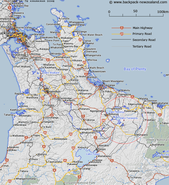
Map showing location of Te Kanakana Dome


LINZ description: The largest of the flat topped volcanic extrusions on Mount Tarawera. On the eastern side.
Latitude: -38.22591
Longitude: 176.520639
Northing: 5763256.1
Easting: 1908197.9
Land District: South Auckland
Feat Type: Hill


Scroll down to see a more detailed road map and below that a topographical map showing the location of Te Kanakana Dome. The road map has been supplied by openstreetmap and the topographical map of Te Kanakana Dome has been supplied by Land Information New Zealand (LINZ).

Yes you can use the top static map for you school/university project or personal website with a link back. Contact me for any commercial use.

Te Kanakana Dome Map New Zealand


New Zealand places in our database
[ A ] [ B ] [ C ] [ D ] [ E ] [ F ] [ G ] [ H ] [ I ] [ J ] [ K ] [ L ] [ M ] [ N ] [ O ] [ P ] [ Q ] [ R ] [ S ] [ T ] [ U ] [ V ] [ W ] [ X ] [ Y ] [ Z ]


Closest 20 Hills to Te Kanakana Dome

Kanakana ( 0.7km )   Wahanga Dome ( 1.25km )   Wahanga Peak ( 1.25km )   Ruawahia Peak ( 1.28km )   Ruawahia Dome ( 1.28km )   Ridge Dome ( 1.91km )   Mount Tarawera ( 2.04km )   Waikakareao ( 2.59km )   Koa ( 2.76km )   Tarawera Dome ( 3.38km )   Tarawera Mount ( 3.38km )   Ngawhiro ( 5.91km )   Pukehou ( 7.52km )   Te Kauae ( 7.6km )   Puhipuhi ( 9km )   Rotomahana ( 10.31km )   Oruakorako Hill ( 10.4km )   Makatiti Dome ( 10.62km )   Hapeotoroa ( 11.16km )   Te Monehu ( 11.86km )   Oteranginui ( 12.15km )   Maungawhakamana ( 12.55km )   Pariwhaiti ( 12.72km )   Waimangu ( 13.61km )   Pukerimu ( 13.74km )   Wairua ( 14.44km )   Tokotokorau ( 14.59km )   Tuahu ( 15.11km )   Haroharo ( 15.15km )   Tutaeheke ( 15.44km )   Maunga K?karamea ( 15.54km )   Rainbow Mountain ( 15.54km )   Maungakakaramea ( 15.54km )   Te Arohou ( 15.83km )   Putaorangitawa ( 16.63km )   Tutehu ( 17.2km )   Pukepoto Hill ( 17.44km )   Rangitoto Peak ( 18.28km )   Whakapoungakau ( 18.28km )   Waikorapa ( 18.71km )