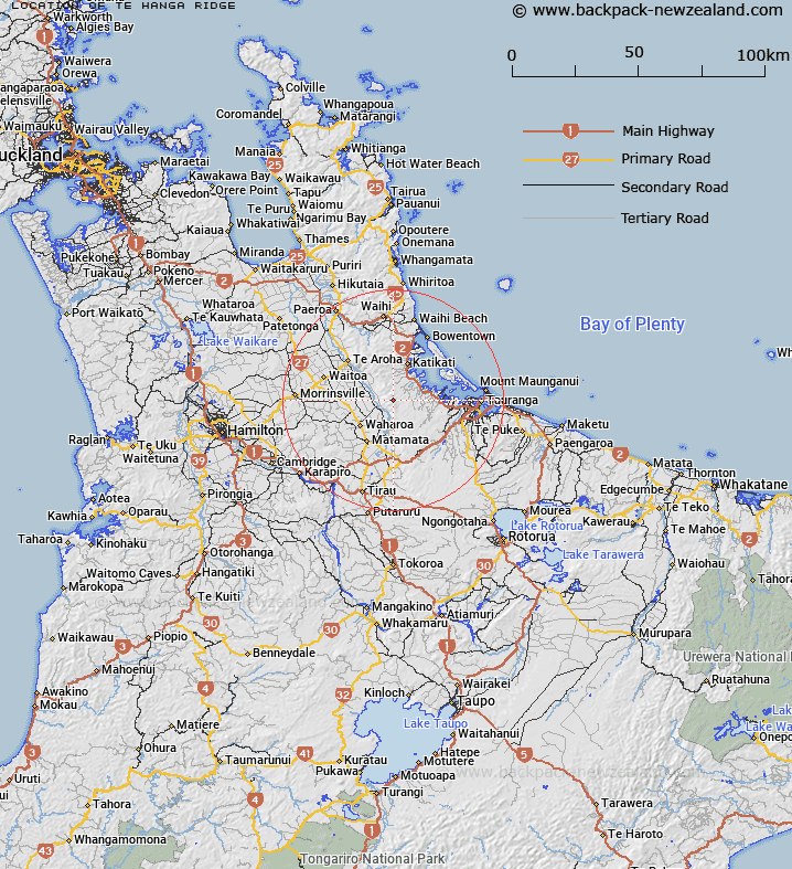
Map showing location of Te Hanga Ridge
LINZ description: A distinctive ridge along the Kaimai Range, extending in a generally southerly direction from a hill Ngatamahinerua at height 849m, to a point at height 640m where the ridge drops steeply near one of the source tributaries of Puketutu Stream near spot height 576m. Located on the ridge is a hill named Pukupenga at height 841m. NZTopo50 BD35-Matamata GR 513 279 to BD36-Lower Kaimai GR 539 234.
Latitude: -37.675794
Longitude: 175.867489
Northing: 5826285.8
Easting: 1852889.1
Land District: South Auckland
Feat Type: Ridge
Latitude: -37.675794
Longitude: 175.867489
Northing: 5826285.8
Easting: 1852889.1
Land District: South Auckland
Feat Type: Ridge

Scroll down to see a more detailed road map and below that a topographical map showing the location of Te Hanga Ridge. The road map has been supplied by openstreetmap and the topographical map of Te Hanga Ridge has been supplied by Land Information New Zealand (LINZ).
Yes you can use the top static map for you school/university project or personal website with a link back. Contact me for any commercial use.
[ A ] [ B ] [ C ] [ D ] [ E ] [ F ] [ G ] [ H ] [ I ] [ J ] [ K ] [ L ] [ M ] [ N ] [ O ] [ P ] [ Q ] [ R ] [ S ] [ T ] [ U ] [ V ] [ W ] [ X ] [ Y ] [ Z ]