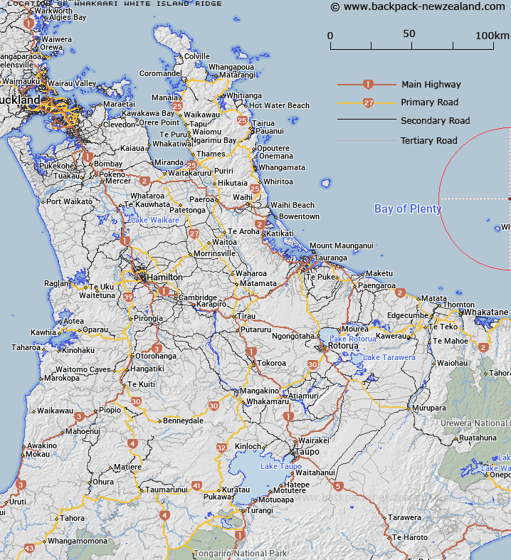
Map showing location of Whakaari / White Island Ridge
LINZ description: 37°30.18′S Latitude, 177°09.70′E Longitude to 37°16.90'S Latitude, 177°23.54′E Longitude. A southwest-northeast trending undersea ridge that extends for 32km northwards from Whakaari / White Island, perpendicular to the regional slope. The crest of the ridge is between 500m and 1500m deep.
Latitude: -37.367257
Longitude: 177.249326
Northing: 5855906.3
Easting: 1976353.7
Land District: South Auckland
Feat Type: Ridge
Latitude: -37.367257
Longitude: 177.249326
Northing: 5855906.3
Easting: 1976353.7
Land District: South Auckland
Feat Type: Ridge

Scroll down to see a more detailed road map and below that a topographical map showing the location of Whakaari / White Island Ridge. The road map has been supplied by openstreetmap and the topographical map of Whakaari / White Island Ridge has been supplied by Land Information New Zealand (LINZ).
Yes you can use the top static map for you school/university project or personal website with a link back. Contact me for any commercial use.
[ A ] [ B ] [ C ] [ D ] [ E ] [ F ] [ G ] [ H ] [ I ] [ J ] [ K ] [ L ] [ M ] [ N ] [ O ] [ P ] [ Q ] [ R ] [ S ] [ T ] [ U ] [ V ] [ W ] [ X ] [ Y ] [ Z ]