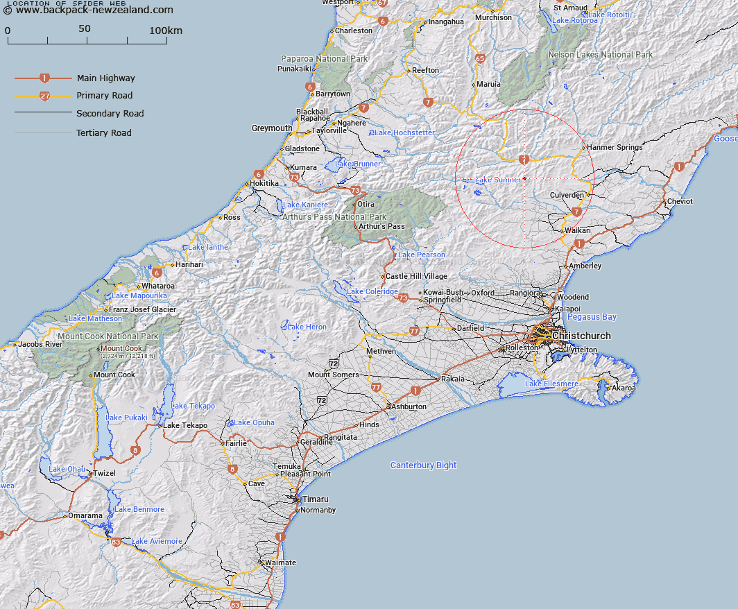
Map showing location of Spider Web


LINZ description: Peak, approximate height 1673m, on the Organ Range about 2.3km north-east of the peak La Grippe. Block IV Mytholm Survey District.
Latitude: -42.688431
Longitude: 172.502789
Northing: 5273663.6
Easting: 1559268.9
Land District: Canterbury
Feat Type: Hill


Scroll down to see a more detailed road map and below that a topographical map showing the location of Spider Web. The road map has been supplied by openstreetmap and the topographical map of Spider Web has been supplied by Land Information New Zealand (LINZ).

Yes you can use the top static map for you school/university project or personal website with a link back. Contact me for any commercial use.

Spider Web Map New Zealand


New Zealand places in our database
[ A ] [ B ] [ C ] [ D ] [ E ] [ F ] [ G ] [ H ] [ I ] [ J ] [ K ] [ L ] [ M ] [ N ] [ O ] [ P ] [ Q ] [ R ] [ S ] [ T ] [ U ] [ V ] [ W ] [ X ] [ Y ] [ Z ]


Closest 20 Hills to Spider Web

Mount Skedaddle ( 1.11km )   La Grippe ( 2.34km )   Nicholsons Knob ( 2.59km )   Clay Knob ( 3.6km )   Mount Skiddaw ( 5.41km )   Pig Hill ( 5.66km )   Balquether ( 6.11km )   Sunny Knob ( 6.66km )   Silverton ( 7.18km )   Scaw Fell ( 7.58km )   Mount Kakapo ( 8.72km )   Mount Jonathan ( 9.17km )   Frozen Hill ( 9.82km )   Dampier Knob ( 10.12km )   Mount Tekoa ( 10.5km )   Mount Roderick ( 10.59km )   Mount Pan ( 10.6km )   Jollie Brook ( 10.74km )   Te Kooti ( 11.29km )   Mons Boreas ( 11.32km )   Windy Knob ( 11.36km )   Hurunui Peak ( 11.85km )   Mount Catherine ( 12.48km )   Charing Cross ( 13km )   Horseshoe Hill ( 13.78km )   Big Big D ( 13.94km )   Shale Peak ( 14km )   Mount Edison ( 14.49km )   Ben Cliberick ( 15.02km )   Handyside ( 15.2km )   Mount Selfe ( 16.02km )   Coopers Knob ( 16.34km )   Neschacker Hill ( 16.48km )   Mount Miza ( 16.91km )   Garnet Peak ( 17.3km )   Mount Longfellow ( 17.34km )   Green Hill ( 17.45km )   Mons Sex Millia ( 17.62km )   Mount Schiehallion ( 17.64km )   Mount Schenallien ( 17.64km )