Map showing location of Big Big D


LINZ description: Feature shown on: NZMS260 M32 Edition 1 1989 Reprinted 1995
Latitude: -42.641139
Longitude: 172.660722
Northing: 5278979.1
Easting: 1572185.6
Land District: Canterbury
Feat Type: Hill


Scroll down to see a more detailed road map and below that a topographical map showing the location of Big Big D. The road map has been supplied by openstreetmap and the topographical map of Big Big D has been supplied by Land Information New Zealand (LINZ).

Yes you can use the top static map for you school/university project or personal website with a link back. Contact me for any commercial use.
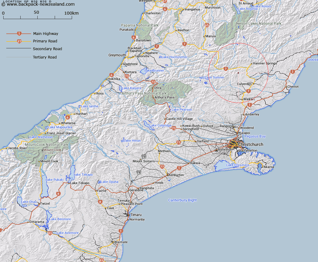
Big Big D Map New Zealand


New Zealand places in our database
[ A ] [ B ] [ C ] [ D ] [ E ] [ F ] [ G ] [ H ] [ I ] [ J ] [ K ] [ L ] [ M ] [ N ] [ O ] [ P ] [ Q ] [ R ] [ S ] [ T ] [ U ] [ V ] [ W ] [ X ] [ Y ] [ Z ]


Closest 20 Hills to Big Big D

Windy Knob ( 3.29km )   Mount Tekoa ( 3.76km )   Shale Peak ( 4.3km )   Te Kooti ( 4.39km )   Mount Cropp ( 4.81km )   Frozen Hill ( 6.29km )   Castle Hill ( 7.24km )   Ben More ( 8.14km )   Pig Hill ( 8.86km )   Holmes ( 9.81km )   Montrose ( 10.41km )   Mount Jonathan ( 10.8km )   Handyside ( 11.37km )   Grey Hill ( 11.55km )   Charing Cross ( 11.56km )   Ramatama ( 11.63km )   Nicholsons Knob ( 12.22km )   Wallace Peak ( 12.79km )   Mizzen Peak ( 13.03km )   Mount Skedaddle ( 13.09km )   Rodney ( 13.16km )   Spider Web ( 13.94km )   Clay Knob ( 14.27km )   Mount Kakapo ( 14.64km )   Horseshoe Hill ( 14.87km )   Mount Culverden ( 15.38km )   Silverton ( 15.83km )   Green Hill ( 15.89km )   Hurunui Peak ( 15.93km )   La Grippe ( 16.17km )   Tabletop ( 16.29km )   Ben May ( 16.99km )   Mount Leslie ( 17km )   Mount Skiddaw ( 17.44km )   Benvoirlich ( 17.49km )   Mount Saint Andrew ( 17.49km )   Miromiro ( 17.62km )   Mount Woolley ( 18.14km )   Mount Scaife ( 18.35km )   Sunny Knob ( 18.56km )