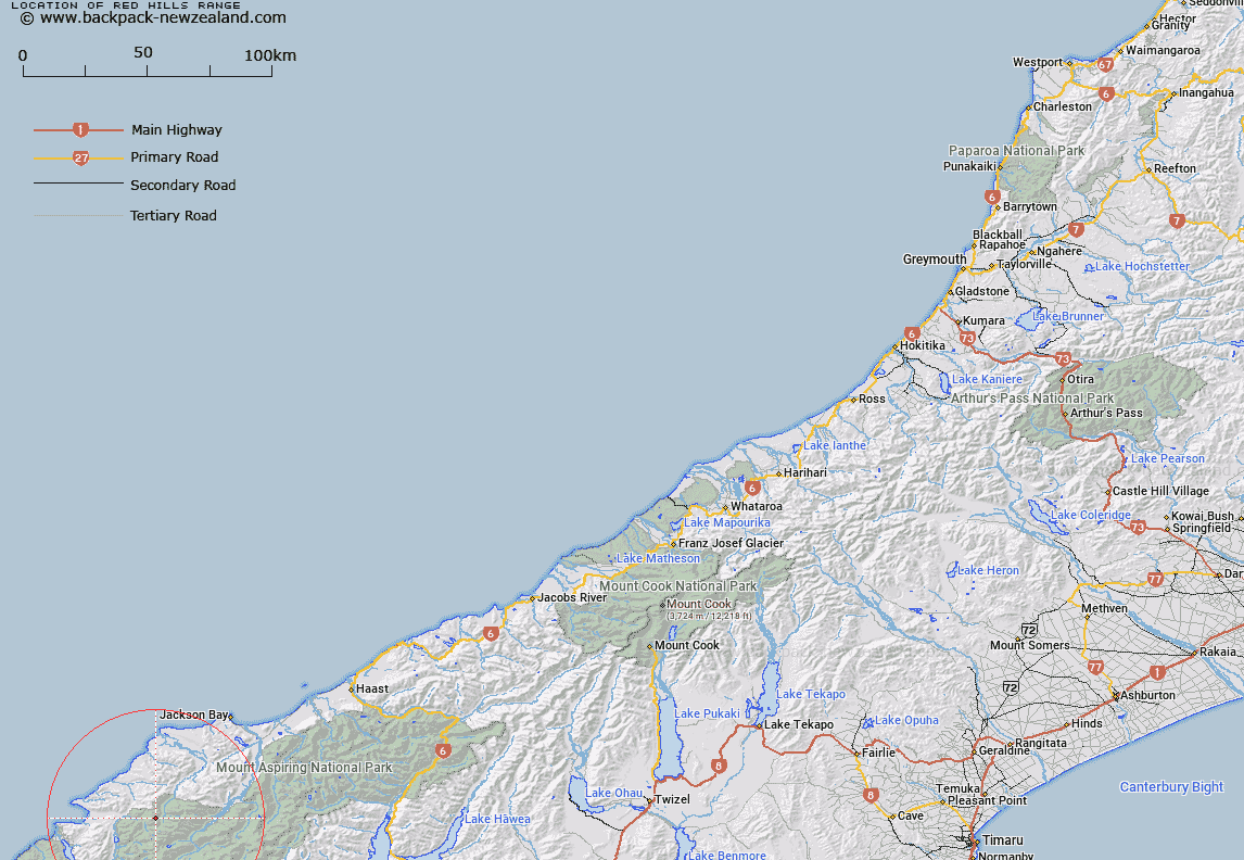
Map showing location of Red Hills Range


LINZ description: Range of hills West of Cascade River. Gorge River, MacFarlane and Humboldtside Survey Districts.
Latitude: -44.315757
Longitude: 168.350461
Northing: 5082533.2
Easting: 1229200
Land District: Westland, Otago
Feat Type: Range


Scroll down to see a more detailed road map and below that a topographical map showing the location of Red Hills Range. The road map has been supplied by openstreetmap and the topographical map of Red Hills Range has been supplied by Land Information New Zealand (LINZ).

Yes you can use the top static map for you school/university project or personal website with a link back. Contact me for any commercial use.

Red Hills Range Map New Zealand


New Zealand places in our database
[ A ] [ B ] [ C ] [ D ] [ E ] [ F ] [ G ] [ H ] [ I ] [ J ] [ K ] [ L ] [ M ] [ N ] [ O ] [ P ] [ Q ] [ R ] [ S ] [ T ] [ U ] [ V ] [ W ] [ X ] [ Y ] [ Z ]


Closest 20 Ranges to Red Hills Range

Little Red Hill Range ( 6.57km )   Five Fingers Range ( 12.58km )   McKenzie Range ( 14.32km )   Malcolm Range ( 16.26km )   Olivine Range ( 18.63km )   Hope Blue River Range ( 19.56km )   Barrier Range ( 19.66km )   Waipara Range ( 21.63km )   Snowdrift Range ( 21.81km )   Sara Hills ( 24.28km )   Bryneira Range ( 27km )   Byrniera Range ( 27km )   Skippers Range ( 27.27km )   Forbes Mountains ( 27.58km )   Cosmos Peaks ( 28.74km )   Haast Range ( 30.03km )   May Hills ( 32.01km )   Thomson Range ( 32.62km )   McARTHUR TOPS ( 32.93km )   Centaur Peaks ( 39.47km )   Commissioner Range ( 39.56km )   Stafford Range ( 40.77km )   Burmeister Tops ( 41.09km )   Serpentine Range ( 45.09km )   Drake Range ( 46.29km )   Darran Mountains ( 46.74km )   Humboldt Mountains ( 47.42km )   Richardson Mountains ( 47.82km )   The Palisades ( 49.94km )   Ailsa Mountains ( 53.07km )   Minaret Peaks ( 53.11km )   Selborne Range ( 54.93km )   Sheerdown Hills ( 56.28km )   Macpherson Heights ( 56.34km )   Buchanan Peaks ( 56.63km )   Te Puhituia ( 57.14km )   Llawrenny Peaks ( 57.14km )   Turret Peaks ( 57.74km )   Browning Range ( 62.85km )   Wick Mountains ( 64.25km )