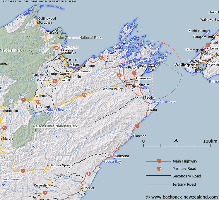
Map showing location of Ōraumoa / Fighting Bay


LINZ description: A bay east of Te Whanganui / Port Underwood approximately 17km east south-east of Picton. NZTopo50-BQ29 005250.
Latitude: -41.3211
Longitude: 174.202014
Northing: 5424900
Easting: 1700600
Land District: Marlborough
Feat Type: Bay


Scroll down to see a more detailed road map and below that a topographical map showing the location of Ōraumoa / Fighting Bay. The road map has been supplied by openstreetmap and the topographical map of Ōraumoa / Fighting Bay has been supplied by Land Information New Zealand (LINZ).

Yes you can use the top static map for you school/university project or personal website with a link back. Contact me for any commercial use.

Ōraumoa / Fighting Bay Map New Zealand


New Zealand places in our database
[ A ] [ B ] [ C ] [ D ] [ E ] [ F ] [ G ] [ H ] [ I ] [ J ] [ K ] [ L ] [ M ] [ N ] [ O ] [ P ] [ Q ] [ R ] [ S ] [ T ] [ U ] [ V ] [ W ] [ X ] [ Y ] [ Z ]


Closest 20 Bays to Ōraumoa / Fighting Bay

Tumbledown Bay ( 2.43km )   Jerdans Bay ( 2.75km )   Kanae Bay ( 2.83km )   Hakana Bay ( 3.4km )   Whataroa Bay ( 3.79km )   Ngakuta Bay ( 4.16km )   Island Bay ( 4.19km )   Glasgow Bay ( 4.19km )   Kaikoura Bay ( 4.45km )   Karaka Bay ( 4.62km )   Whangakoko Bay ( 4.8km )   Tongue Bay ( 5.03km )   Pipi Bay ( 5.41km )   Opua Bay ( 5.48km )   Deep Bight ( 5.62km )   Whangatoetoe Bay ( 5.75km )   Missionary Bay ( 5.78km )   Kingfish Bay ( 5.93km )   Opihi Bay ( 6.14km )   Tawa Bay ( 6.2km )   Cutters Bay ( 6.63km )   Whangataura Bay ( 6.77km )   Uruti Bay ( 6.95km )   Te Whanganui / Port Underwood ( 7.12km )   Port Underwood ( 7.12km )   Waingaro Bay ( 7.32km )   Coles Bay ( 7.32km )   Oyster Bay ( 7.54km )   Tom Canes Bay ( 7.61km )   Hakahaka Bay ( 7.62km )   Hitaua Bay ( 7.79km )   Kakapo Bay ( 7.88km )   Erie Bay ( 7.88km )   Waipuna Bay ( 7.93km )   Te Weka Bay ( 8.38km )   Te Weuweu Bay ( 8.45km )   Ocean Bay ( 8.55km )   Te Pangu Bay ( 8.68km )   Maraetai Bay ( 8.99km )   Konini Bay ( 9.21km )