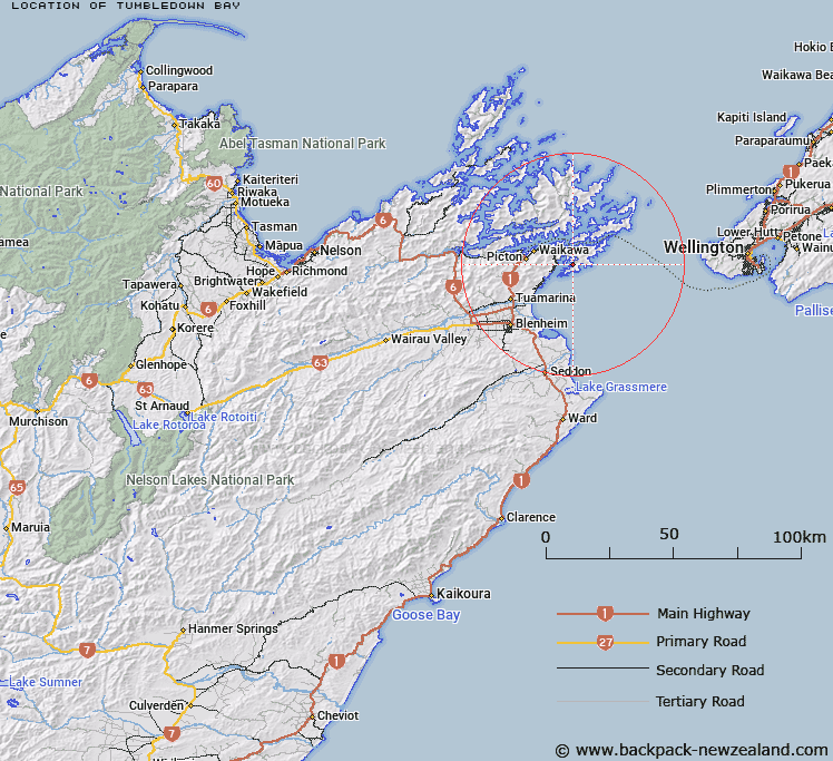
Map showing location of Tumbledown Bay


LINZ description: Bay on eastern coast of Port Underwood between The Knobbies and Jerdans Bay.
Latitude: -41.314179
Longitude: 174.174409
Northing: 5425700
Easting: 1698300
Land District: Marlborough
Feat Type: Bay


Scroll down to see a more detailed road map and below that a topographical map showing the location of Tumbledown Bay. The road map has been supplied by openstreetmap and the topographical map of Tumbledown Bay has been supplied by Land Information New Zealand (LINZ).

Yes you can use the top static map for you school/university project or personal website with a link back. Contact me for any commercial use.

Tumbledown Bay Map New Zealand


New Zealand places in our database
[ A ] [ B ] [ C ] [ D ] [ E ] [ F ] [ G ] [ H ] [ I ] [ J ] [ K ] [ L ] [ M ] [ N ] [ O ] [ P ] [ Q ] [ R ] [ S ] [ T ] [ U ] [ V ] [ W ] [ X ] [ Y ] [ Z ]


Closest 20 Bays to Tumbledown Bay

Jerdans Bay ( 0.64km )   Kanae Bay ( 1.12km )   Whataroa Bay ( 1.82km )   Hakana Bay ( 2.2km )   ?raumoa / Fighting Bay ( 2.43km )   Oraumoa Bay ( 2.43km )   Fighting Bay (Oraumoa) ( 2.43km )   Kaikoura Bay ( 2.58km )   Tongue Bay ( 2.67km )   Whangakoko Bay ( 2.88km )   Ngakuta Bay ( 2.9km )   Deep Bight ( 3.2km )   Karaka Bay ( 3.5km )   Kingfish Bay ( 3.51km )   Pipi Bay ( 3.69km )   Opihi Bay ( 3.99km )   Whangatoetoe Bay ( 4.13km )   Whangataura Bay ( 4.47km )   Uruti Bay ( 4.57km )   Coles Bay ( 4.99km )   Waingaro Bay ( 4.99km )   Cutters Bay ( 5km )   Oyster Bay ( 5.12km )   Hakahaka Bay ( 5.19km )   Te Whanganui / Port Underwood ( 5.2km )   Port Underwood ( 5.2km )   Opua Bay ( 5.22km )   Missionary Bay ( 5.33km )   Tom Canes Bay ( 5.34km )   Island Bay ( 5.59km )   Glasgow Bay ( 5.59km )   Kakapo Bay ( 5.7km )   Waipuna Bay ( 5.84km )   Tawa Bay ( 5.93km )   Hitaua Bay ( 6.3km )   Ocean Bay ( 6.5km )   Maraetai Bay ( 7.12km )   Rangitane Bay ( 7.44km )   Te Weka Bay ( 7.52km )   Erie Bay ( 7.74km )