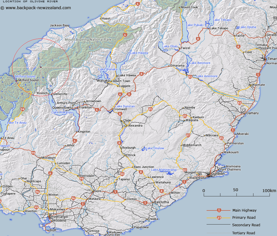
Map showing location of Olivine River


LINZ description: Tributary of Pyke River, the Olivine River is considerably larger in catchment and volume than the Forgotten River
Latitude: -44.504778
Longitude: 168.246657
Northing: 5061060.4
Easting: 1222143
Land District: Otago
Feat Type: Stream


Scroll down to see a more detailed road map and below that a topographical map showing the location of Olivine River. The road map has been supplied by openstreetmap and the topographical map of Olivine River has been supplied by Land Information New Zealand (LINZ).

Yes you can use the top static map for you school/university project or personal website with a link back. Contact me for any commercial use.

Olivine River Map New Zealand


New Zealand places in our database
[ A ] [ B ] [ C ] [ D ] [ E ] [ F ] [ G ] [ H ] [ I ] [ J ] [ K ] [ L ] [ M ] [ N ] [ O ] [ P ] [ Q ] [ R ] [ S ] [ T ] [ U ] [ V ] [ W ] [ X ] [ Y ] [ Z ]


Closest 20 Streams to Olivine River

Fiery Creek ( 2.46km )   Beans Burn ( 3.5km )   Alabaster Creek ( 4.66km )   Powell Creek ( 5.58km )   Pyke River ( 5.63km )   Cloud Creek ( 5.73km )   Forgotten River ( 5.73km )   Milner Ice Stream ( 5.91km )   Swan Creek ( 6.51km )   Blockade Stream ( 6.88km )   McBride Burn ( 7.87km )   Bride Burn ( 7.87km )   Grebe Creek ( 7.97km )   Diorite Stream ( 8.63km )   Dredge Burn ( 8.63km )   Chair Creek ( 9.31km )   Margaret Burn ( 10.28km )   Slip Stream ( 10.53km )   Barrier River ( 11.06km )   Rainbow Creek ( 11.56km )   Barrier River South Branch ( 11.67km )   Whatta Creek ( 11.99km )   Silver Stream ( 12.35km )   Barrier River North Branch ( 12.59km )   False Pass Burn ( 13.03km )   Saddle Stream ( 13.08km )   Red Stream ( 14.02km )   Southern Cross Creek ( 14.14km )   Bedford Stream ( 14.32km )   Rough Creek ( 14.35km )   Wilmot River ( 14.75km )   Joe River ( 14.81km )   Victor Creek ( 14.86km )   Pass Burn ( 15.05km )   Larnachs Creek ( 15.08km )   Hollyford River ( 15.11km )   Hollyford River/Whakatipu K? Tuka ( 15.11km )   Crescent Creek ( 15.55km )   Peanut Stream ( 15.93km )   Hidden Falls Creek ( 15.94km )