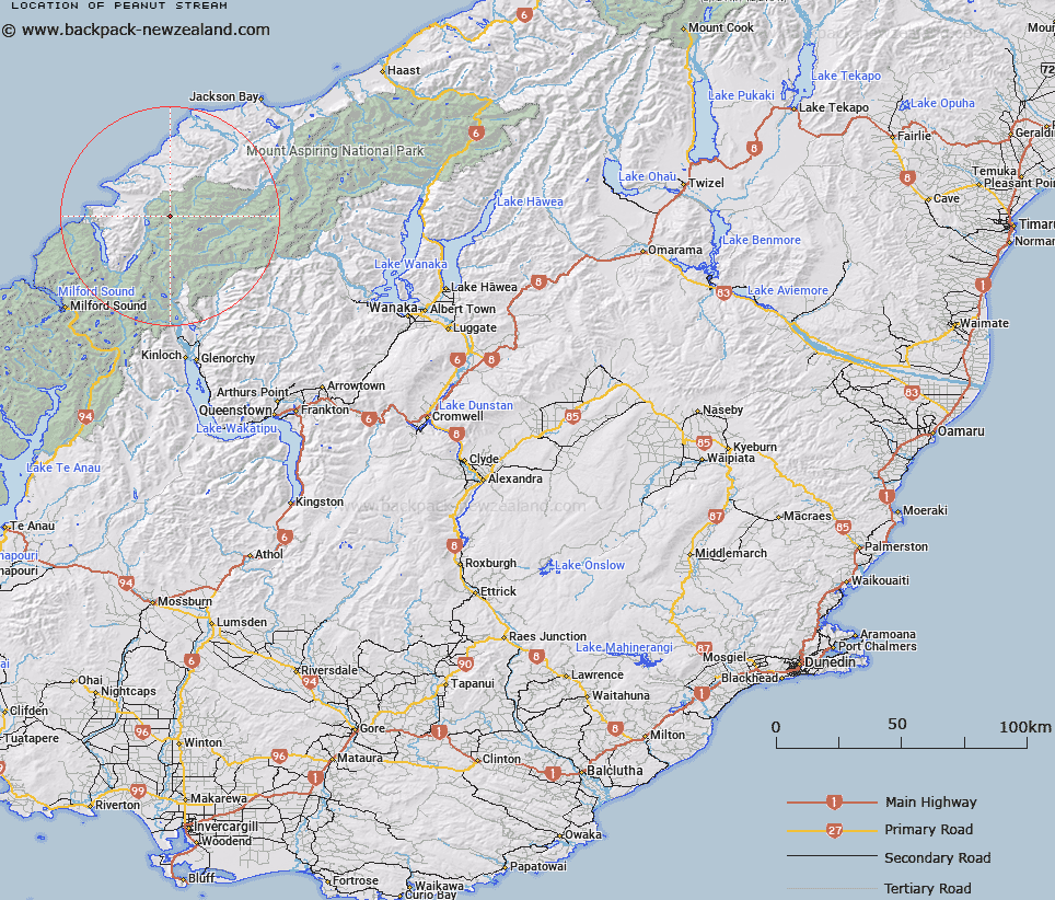
Map showing location of Peanut Stream


LINZ description: A tributary of upper Pyke River with its headwaters in the Little Red Hill Range.
Latitude: -44.365717
Longitude: 168.294626
Northing: 5076729
Easting: 1225066.2
Land District: Otago
Feat Type: Stream


Scroll down to see a more detailed road map and below that a topographical map showing the location of Peanut Stream. The road map has been supplied by openstreetmap and the topographical map of Peanut Stream has been supplied by Land Information New Zealand (LINZ).

Yes you can use the top static map for you school/university project or personal website with a link back. Contact me for any commercial use.

Peanut Stream Map New Zealand


New Zealand places in our database
[ A ] [ B ] [ C ] [ D ] [ E ] [ F ] [ G ] [ H ] [ I ] [ J ] [ K ] [ L ] [ M ] [ N ] [ O ] [ P ] [ Q ] [ R ] [ S ] [ T ] [ U ] [ V ] [ W ] [ X ] [ Y ] [ Z ]


Closest 20 Streams to Peanut Stream

Steep Creek ( 1.16km )   Kea Creek ( 1.35km )   Southern Cross Creek ( 1.83km )   Rata Creek ( 1.91km )   Red Stream ( 1.96km )   Crescent Creek ( 2.86km )   Saddle Stream ( 3.08km )   Barrier River North Branch ( 3.68km )   Trinity Stream ( 3.75km )   Larnachs Creek ( 3.83km )   Simonin Stream ( 4.24km )   Barrier River South Branch ( 4.58km )   Silver Stream ( 4.9km )   Sealy Stream ( 4.99km )   Barrier River ( 5.5km )   Limbo Stream ( 6.23km )   Red Pyke River ( 7.09km )   Peridot Stream ( 7.85km )   Chrome Creek ( 7.85km )   Wilmot River ( 8.24km )   Barrington Creek ( 8.57km )   Retreat Creek ( 8.6km )   Diorite Stream ( 8.95km )   Durwards Creek ( 9.03km )   Paulin Creek ( 9.43km )   Holland Creek ( 9.84km )   Pass Creek ( 10.12km )   Malcolm Creek ( 10.39km )   Dry Awarua River ( 10.62km )   Tornado Creek ( 10.97km )   Williamson River ( 11.26km )   Blockade Stream ( 11.52km )   McKenzie Creek ( 11.59km )   Topsey Creek ( 11.67km )   Forgotten River ( 11.92km )   Saddle Creek ( 12.33km )   Arcade Creek ( 12.41km )   Milner Ice Stream ( 12.46km )   Ridge Creek ( 12.53km )   Kawhaka Creek ( 12.56km )