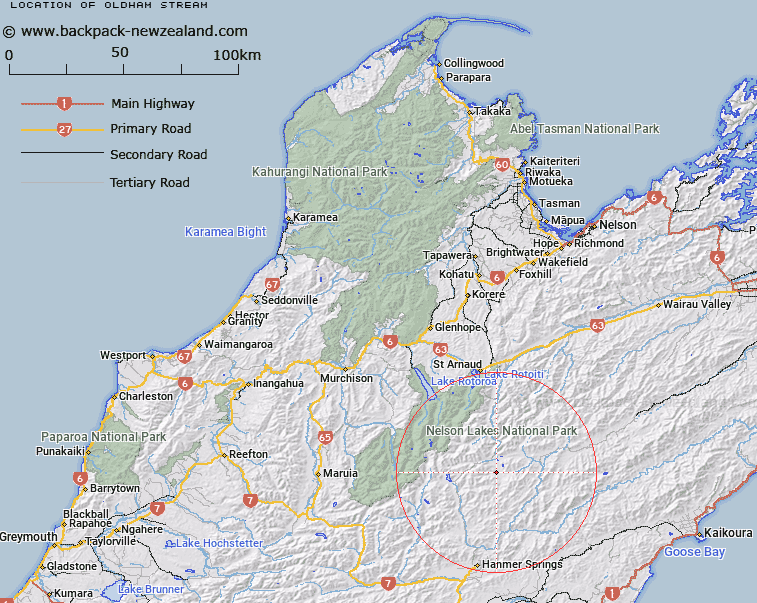
Map showing location of Oldham Stream
LINZ description: Left bank tributary of Cat Creek rising on the southern side of Balaclava Ridge, East of Mount Balaclava [Trig. X (Geodetic Code B1PV)], flowing eastward, and joining Cat Creek 1.75km North North-west of Mitre Peak [Trig. E (Geodetic Code B1Q1)]. Blocks II and III Alma Survey District.
Latitude: -42.181348
Longitude: 172.904874
Northing: 5330084.2
Easting: 1592144.3
Land District: Nelson
Feat Type: Stream
Latitude: -42.181348
Longitude: 172.904874
Northing: 5330084.2
Easting: 1592144.3
Land District: Nelson
Feat Type: Stream

Scroll down to see a more detailed road map and below that a topographical map showing the location of Oldham Stream. The road map has been supplied by openstreetmap and the topographical map of Oldham Stream has been supplied by Land Information New Zealand (LINZ).
Yes you can use the top static map for you school/university project or personal website with a link back. Contact me for any commercial use.
[ A ] [ B ] [ C ] [ D ] [ E ] [ F ] [ G ] [ H ] [ I ] [ J ] [ K ] [ L ] [ M ] [ N ] [ O ] [ P ] [ Q ] [ R ] [ S ] [ T ] [ U ] [ V ] [ W ] [ X ] [ Y ] [ Z ]