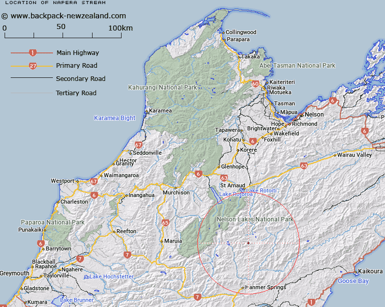
Map showing location of Napera Stream
LINZ description: Right bank tributary of Cat Creek rising on the northern slopes of Inkerman Ridge, 3.6km North North-west of Mount Sebastopol [Trig. I (Geodetic Code 1430)], flowing North-east, and joining Cat Creek 3.3km South-east of Mount Balaclava [Trig. X (Geodetic Code B1PV)]. Block VI Alma Survey District.
Latitude: -42.199399
Longitude: 172.872818
Northing: 5328076.5
Easting: 1589500
Land District: Nelson
Feat Type: Stream
Latitude: -42.199399
Longitude: 172.872818
Northing: 5328076.5
Easting: 1589500
Land District: Nelson
Feat Type: Stream

Scroll down to see a more detailed road map and below that a topographical map showing the location of Napera Stream. The road map has been supplied by openstreetmap and the topographical map of Napera Stream has been supplied by Land Information New Zealand (LINZ).
Yes you can use the top static map for you school/university project or personal website with a link back. Contact me for any commercial use.
[ A ] [ B ] [ C ] [ D ] [ E ] [ F ] [ G ] [ H ] [ I ] [ J ] [ K ] [ L ] [ M ] [ N ] [ O ] [ P ] [ Q ] [ R ] [ S ] [ T ] [ U ] [ V ] [ W ] [ X ] [ Y ] [ Z ]