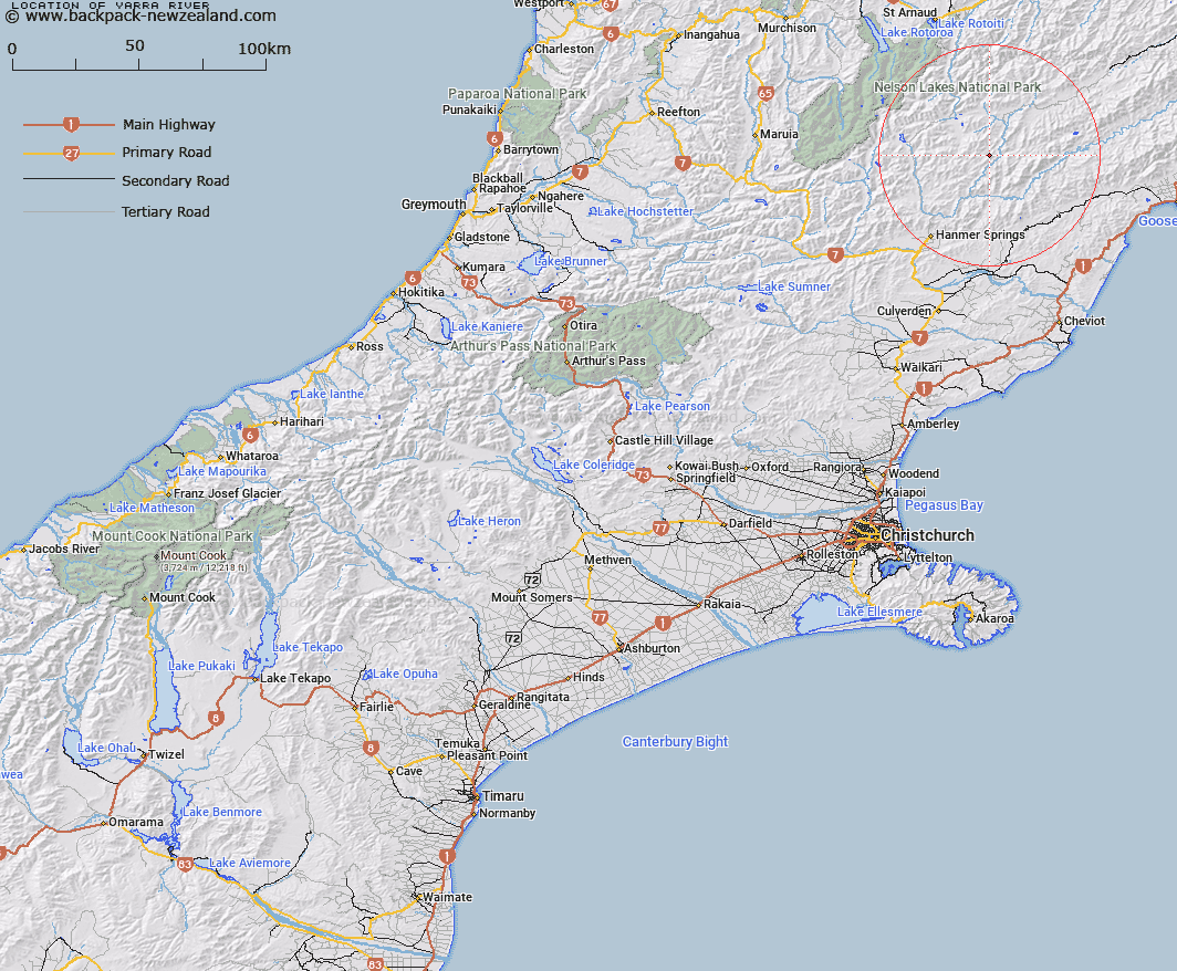
Map showing location of Yarra River


LINZ description: The tributary of the Acheron River in Alma and Severn Survey Districts. Reference NZMS.1, Sheet S.47. Approx 22ml North East of Hanmer Springs. Rises north of Mt Northampton and flows generally easterly into Acheron River.
Latitude: -42.256893
Longitude: 173.033946
Northing: 5321700
Easting: 1602800
Land District: Canterbury
Feat Type: Stream


Scroll down to see a more detailed road map and below that a topographical map showing the location of Yarra River. The road map has been supplied by openstreetmap and the topographical map of Yarra River has been supplied by Land Information New Zealand (LINZ).

Yes you can use the top static map for you school/university project or personal website with a link back. Contact me for any commercial use.

Yarra River Map New Zealand


New Zealand places in our database
[ A ] [ B ] [ C ] [ D ] [ E ] [ F ] [ G ] [ H ] [ I ] [ J ] [ K ] [ L ] [ M ] [ N ] [ O ] [ P ] [ Q ] [ R ] [ S ] [ T ] [ U ] [ V ] [ W ] [ X ] [ Y ] [ Z ]


Closest 20 Streams to Yarra River

Cameron Stream ( 2.27km )   McGuires Stream ( 8.27km )   Half Moon Stream ( 8.5km )   Bull Stream ( 9.13km )   Five Mile Stream ( 9.5km )   Cow Stream ( 9.59km )   Sawney Stream ( 9.87km )   Doughboy Stream ( 10.38km )   Boundary Stream ( 10.62km )   Alma River ( 10.62km )   Dillon River ( 11.43km )   Camp Stream ( 12.14km )   Crimea Creek ( 12.42km )   Guide River ( 12.67km )   Cat Creek ( 13.19km )   Blinkers Stream ( 13.33km )   Oldham Stream ( 13.55km )   Elliott Stream ( 13.68km )   Rough Creek ( 14.03km )   Alma Bend ( 14.11km )   Stoat Creek ( 14.68km )   Napera Stream ( 14.73km )   Greenbush Stream ( 15.38km )   Tarndale Brook ( 15.38km )   Waimea Stream ( 16.52km )   Gloster River ( 16.91km )   Bunkers Stream ( 17km )   Winterburn Stream ( 17.12km )   Tweed River ( 17.16km )   Big Bush Stream ( 17.72km )   Hossack River ( 17.87km )   Severn River ( 18.57km )   Berts Creek ( 18.76km )   Palmer Stream ( 18.88km )   Awatere River ( 19km )   Dog Stream ( 19.2km )   Nightingale Stream ( 19.38km )   Clarence River ( 20.08km )   Waiau Toa / Clarence River ( 20.08km )   No Mans Creek ( 20.62km )