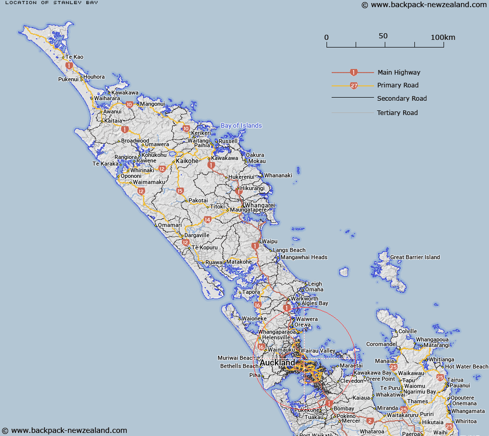
Map showing location of Stanley Bay
LINZ description: This southern North Shore City suburb, is on a peninsula adjacent to Devonport in the Waitemata Harbour. Feature shown on: NZMS260 R11 Edition 2 1994;
Latitude: -36.826404
Longitude: 174.783992
Northing: 5922900
Easting: 1759100
Land District: North Auckland
Feat Type: Suburb
Latitude: -36.826404
Longitude: 174.783992
Northing: 5922900
Easting: 1759100
Land District: North Auckland
Feat Type: Suburb

Scroll down to see a more detailed road map and below that a topographical map showing the location of Stanley Bay. The road map has been supplied by openstreetmap and the topographical map of Stanley Bay has been supplied by Land Information New Zealand (LINZ).
Yes you can use the top static map for you school/university project or personal website with a link back. Contact me for any commercial use.
[ A ] [ B ] [ C ] [ D ] [ E ] [ F ] [ G ] [ H ] [ I ] [ J ] [ K ] [ L ] [ M ] [ N ] [ O ] [ P ] [ Q ] [ R ] [ S ] [ T ] [ U ] [ V ] [ W ] [ X ] [ Y ] [ Z ]