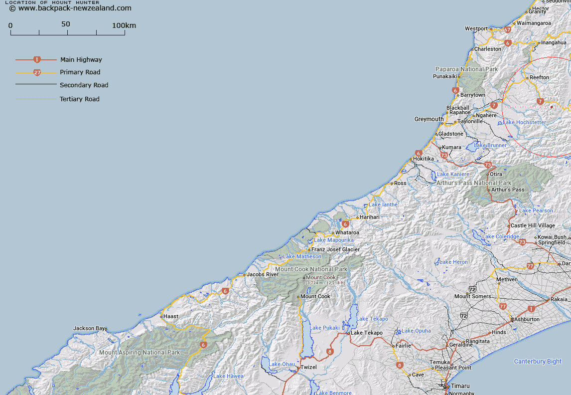
Map showing location of Mount Hunter


LINZ description: Peak situated on the divide between Inangahua River valley and the upper Grey River tributary areas, 3.2km South-west of Mount Haast [Trig. Z (Geodetic Code A83B)]. Block I Lewis Survey District.
Latitude: -42.33077
Longitude: 172.050033
Northing: 5313060.8
Easting: 1521734.4
Land District: Westland
Feat Type: Hill


Scroll down to see a more detailed road map and below that a topographical map showing the location of Mount Hunter. The road map has been supplied by openstreetmap and the topographical map of Mount Hunter has been supplied by Land Information New Zealand (LINZ).

Yes you can use the top static map for you school/university project or personal website with a link back. Contact me for any commercial use.

Mount Hunter Map New Zealand


New Zealand places in our database
[ A ] [ B ] [ C ] [ D ] [ E ] [ F ] [ G ] [ H ] [ I ] [ J ] [ K ] [ L ] [ M ] [ N ] [ O ] [ P ] [ Q ] [ R ] [ S ] [ T ] [ U ] [ V ] [ W ] [ X ] [ Y ] [ Z ]


Closest 20 Hills to Mount Hunter

Mount Puttick ( 2.19km )   Mount Beckman ( 2.31km )   Mount Kemp ( 3.01km )   Mount Haast ( 3.17km )   Mount Gore ( 5.94km )   Mount Alexander ( 6.35km )   Conical Hill ( 6.61km )   Mount Penneal ( 6.73km )   Pinnacle ( 8.46km )   Mount Blackadder ( 10.25km )   Mount Ross ( 11.17km )   Bald Hill ( 11.99km )   Windy Point ( 12.12km )   Turpentine ( 12.82km )   Mount Harata ( 12.84km )   Marble Hill ( 13.29km )   Slate Slip Hill ( 13.68km )   Mount Rameses ( 14.61km )   Ivess Peak ( 15.06km )   Mount Albert ( 16.04km )   Baldy ( 17.47km )   The Pyramid ( 17.8km )   Mount Hochstetter ( 20.32km )   Mount Mueller ( 20.48km )   Mount Novaro ( 20.67km )   Globe Hill ( 21.05km )   Mount Boscawen ( 21.85km )   Mount Barron ( 21.92km )   Mount Hatless ( 23.24km )   The Grand Duchess ( 23.42km )   The Apprentice ( 24.83km )   Lucretia ( 24.88km )   Mount Elliot ( 25.12km )   Mount Carrington ( 25.24km )   Creighton Peak ( 25.47km )   The Devils Rampart ( 25.74km )   Kirwans Hill ( 26.15km )   Mount Quail ( 26.2km )   Mount Technical ( 26.39km )   Mount Crosscut ( 26.45km )