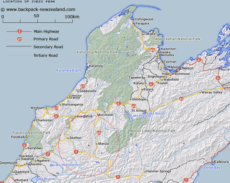
Map showing location of Ivess Peak


LINZ description: Mountain of 1749m in Victoria Range, at the head of Shaw Stream.
Latitude: -42.205951
Longitude: 172.120967
Northing: 5326982.9
Easting: 1527435.5
Land District: Nelson
Feat Type: Hill


Scroll down to see a more detailed road map and below that a topographical map showing the location of Ivess Peak. The road map has been supplied by openstreetmap and the topographical map of Ivess Peak has been supplied by Land Information New Zealand (LINZ).

Yes you can use the top static map for you school/university project or personal website with a link back. Contact me for any commercial use.

Ivess Peak Map New Zealand


New Zealand places in our database
[ A ] [ B ] [ C ] [ D ] [ E ] [ F ] [ G ] [ H ] [ I ] [ J ] [ K ] [ L ] [ M ] [ N ] [ O ] [ P ] [ Q ] [ R ] [ S ] [ T ] [ U ] [ V ] [ W ] [ X ] [ Y ] [ Z ]


Closest 20 Hills to Ivess Peak

Mount Blackadder ( 6.3km )   Mount Albert ( 10.07km )   Creighton Peak ( 10.51km )   Mount Penneal ( 10.51km )   Mount Ross ( 11.53km )   Mount Crosscut ( 11.68km )   Mount Haast ( 12.39km )   Baldy ( 14.2km )   Kirwans Hill ( 14.81km )   Mount Hunter ( 15.06km )   Devils Knob ( 15.18km )   Mount Kemp ( 15.23km )   Granite Pinnacle ( 15.58km )   Mount Gore ( 16.05km )   Mount Alexander ( 16.19km )   Mount Beckman ( 16.49km )   Mount Ralph ( 16.75km )   Mount Puttick ( 17.05km )   Marble Hill ( 17.75km )   Globe Hill ( 18.11km )   Fyfe Peak ( 18.27km )   Mount Cann ( 18.62km )   Mount Victoria ( 19.7km )   Conical Hill ( 19.75km )   Mount Rutland ( 19.84km )   Bald Hill ( 20.19km )   Mount Ossa ( 20.84km )   Conical Hill ( 21.34km )   Mount Pelion ( 22.23km )   Mount Mueller ( 22.34km )   Windy Point ( 22.73km )   Sugar Loaf ( 23.14km )   Pinnacle ( 23.22km )   Bourkes Rock ( 23.74km )   Turpentine ( 24.89km )   Mount Harata ( 25.83km )   Freyberg Peak ( 25.9km )   Mount Oliver ( 26.23km )   Mount Maling ( 26.41km )   Slate Slip Hill ( 26.93km )