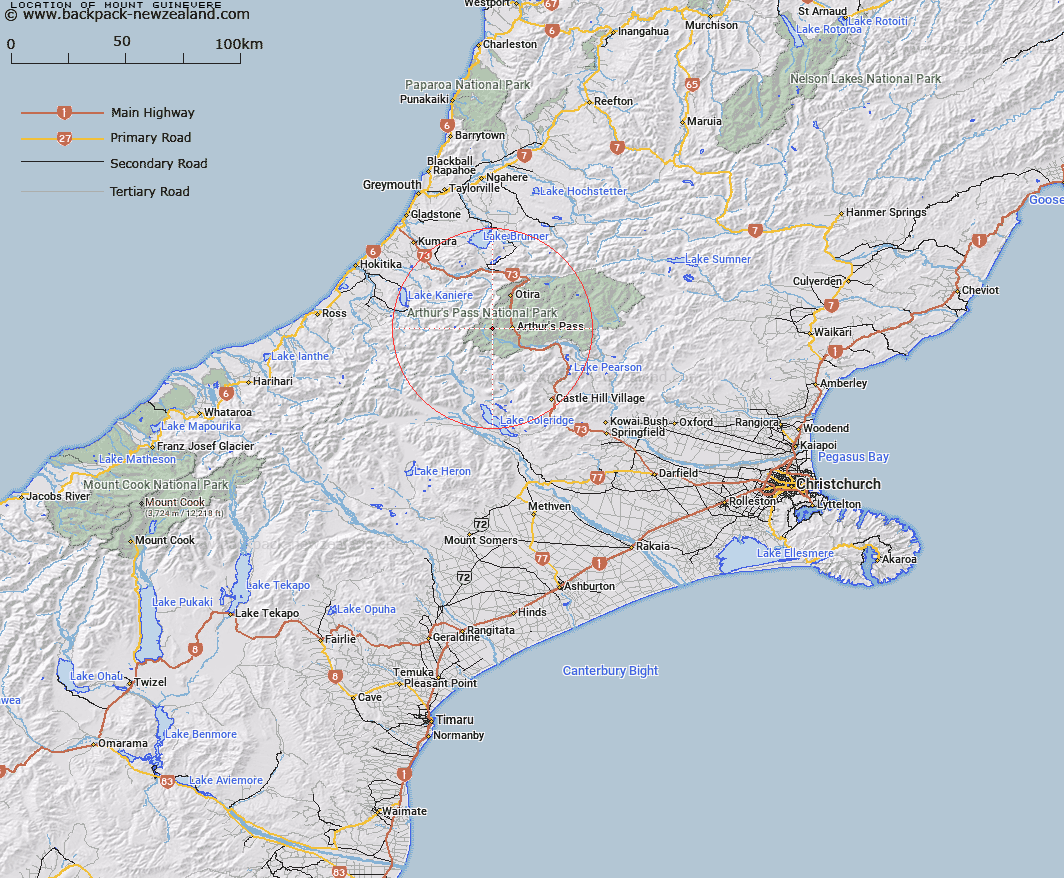
Map showing location of Mount Guinevere


LINZ description: The most prominent peak on the Jellicoe Ridge. 2042m, 4.5km South by South-west of Mount Rolleston. Davie Survey District.
Latitude: -42.947982
Longitude: 171.488646
Northing: 5243853.6
Easting: 1476707.1
Land District: Canterbury
Feat Type: Hill


Scroll down to see a more detailed road map and below that a topographical map showing the location of Mount Guinevere. The road map has been supplied by openstreetmap and the topographical map of Mount Guinevere has been supplied by Land Information New Zealand (LINZ).

Yes you can use the top static map for you school/university project or personal website with a link back. Contact me for any commercial use.

Mount Guinevere Map New Zealand


New Zealand places in our database
[ A ] [ B ] [ C ] [ D ] [ E ] [ F ] [ G ] [ H ] [ I ] [ J ] [ K ] [ L ] [ M ] [ N ] [ O ] [ P ] [ Q ] [ R ] [ S ] [ T ] [ U ] [ V ] [ W ] [ X ] [ Y ] [ Z ]


Closest 20 Hills to Mount Guinevere

Mount Stewart ( 2.1km )   Mount Lancelot ( 2.82km )   Lyell Peak ( 3.76km )   Avalanche Peak ( 3.88km )   Carrington Peak ( 4.12km )   Mount Campbell ( 4.43km )   Mount Rolleston ( 4.48km )   Mount Bealey ( 5.02km )   Mount Armstrong ( 6.23km )   Taipos Breast ( 6.31km )   Mount Isobel ( 7.07km )   Anderson Peak ( 7.15km )   Mottram Peaks ( 7.2km )   Mount Philistine ( 7.46km )   Mount Harper ( 7.82km )   Warnocks Knob ( 7.93km )   Mount Davie ( 8.01km )   Mount Rosamond ( 8.04km )   Mount Speight ( 8.46km )   Mount Cassidy ( 8.55km )   Mount O'Malley ( 8.63km )   Mount Marion ( 8.7km )   Mount Marianne ( 8.7km )   Damfool ( 8.77km )   Mount Aicken ( 9.15km )   Blimit ( 9.23km )   Cow Peak ( 9.27km )   Mount Pope ( 9.56km )   Mount Temple ( 9.89km )   Hills Peak ( 10.16km )   Phipps Peak ( 10.16km )   Mount Gizeh ( 10.2km )   Mount Harman ( 10.42km )   Mount Harman/Kaniere ( 10.42km )   Mount Wakeman ( 10.44km )   Mount Axis ( 10.48km )   Mount Greenlaw ( 10.52km )   Mount Walcott ( 10.55km )   Mount Murchison ( 11.02km )   Mount Williams ( 11.35km )