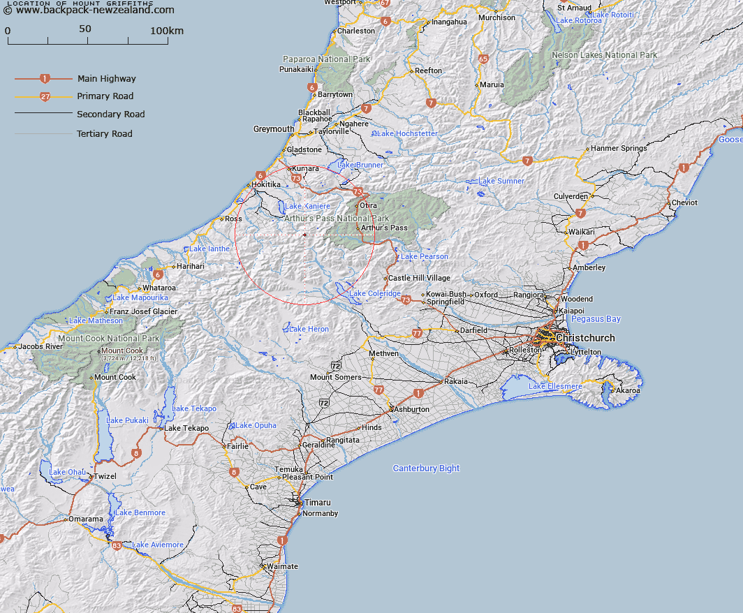
Map showing location of Mount Griffiths
LINZ description: Peak on the main divide between Canterbury and Westland at the head of Griffiths Glacier and adjacent to Griffiths Saddle. Between Mount Fitzgerald and Mount Keddell. Block IX Browning and Block I Davie Survey Districts.
Latitude: -42.979331
Longitude: 171.273623
Northing: 5240034.5
Easting: 1459237.1
Land District: Canterbury, Westland
Feat Type: Hill
Latitude: -42.979331
Longitude: 171.273623
Northing: 5240034.5
Easting: 1459237.1
Land District: Canterbury, Westland
Feat Type: Hill

Scroll down to see a more detailed road map and below that a topographical map showing the location of Mount Griffiths. The road map has been supplied by openstreetmap and the topographical map of Mount Griffiths has been supplied by Land Information New Zealand (LINZ).
Yes you can use the top static map for you school/university project or personal website with a link back. Contact me for any commercial use.
[ A ] [ B ] [ C ] [ D ] [ E ] [ F ] [ G ] [ H ] [ I ] [ J ] [ K ] [ L ] [ M ] [ N ] [ O ] [ P ] [ Q ] [ R ] [ S ] [ T ] [ U ] [ V ] [ W ] [ X ] [ Y ] [ Z ]