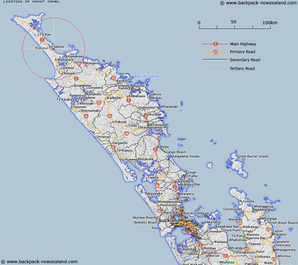
Map showing location of Mount Camel
LINZ description: A hill at 236m located on the northern side of the entrance to Houhora Harbour. A beaconed geodetic mark code 1391 is located at the summit. Feature shown on: NZMS260 N03 edition 1 1984; NZTopo50-AU26 146469.
Latitude: -34.820243
Longitude: 173.159572
Northing: 6146879.4
Easting: 1614593
Land District: North Auckland
Feat Type: Hill
Latitude: -34.820243
Longitude: 173.159572
Northing: 6146879.4
Easting: 1614593
Land District: North Auckland
Feat Type: Hill

Scroll down to see a more detailed road map and below that a topographical map showing the location of Mount Camel. The road map has been supplied by openstreetmap and the topographical map of Mount Camel has been supplied by Land Information New Zealand (LINZ).
Yes you can use the top static map for you school/university project or personal website with a link back. Contact me for any commercial use.
[ A ] [ B ] [ C ] [ D ] [ E ] [ F ] [ G ] [ H ] [ I ] [ J ] [ K ] [ L ] [ M ] [ N ] [ O ] [ P ] [ Q ] [ R ] [ S ] [ T ] [ U ] [ V ] [ W ] [ X ] [ Y ] [ Z ]