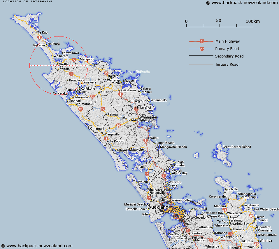
Map showing location of Tatarakihi
LINZ description: A hill at 89m located approximately 5km north of Kaitaia, on the north-west side of Kaitaia Aerodrome. A beaconed geodetic mark code A1LM is located at the summit. NZTopo50-AV26 249194.
Latitude: -35.067742
Longitude: 173.273508
Northing: 6119410.3
Easting: 1624937.5
Land District: North Auckland
Feat Type: Hill
Latitude: -35.067742
Longitude: 173.273508
Northing: 6119410.3
Easting: 1624937.5
Land District: North Auckland
Feat Type: Hill

Scroll down to see a more detailed road map and below that a topographical map showing the location of Tatarakihi. The road map has been supplied by openstreetmap and the topographical map of Tatarakihi has been supplied by Land Information New Zealand (LINZ).
Yes you can use the top static map for you school/university project or personal website with a link back. Contact me for any commercial use.
[ A ] [ B ] [ C ] [ D ] [ E ] [ F ] [ G ] [ H ] [ I ] [ J ] [ K ] [ L ] [ M ] [ N ] [ O ] [ P ] [ Q ] [ R ] [ S ] [ T ] [ U ] [ V ] [ W ] [ X ] [ Y ] [ Z ]