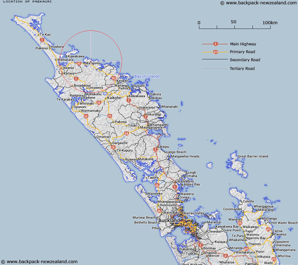
Map showing location of Paekauri
LINZ description: A hill at height 354m located approximately 8km northeast of Mangonui (locality). Feature shown on: NZMS260 O04 Edition 1 1984; NZTopo50-AU27 565303
Latitude: -34.968417
Longitude: 173.619083
Northing: 6130284.4
Easting: 1656514.5
Land District: North Auckland
Feat Type: Hill
Latitude: -34.968417
Longitude: 173.619083
Northing: 6130284.4
Easting: 1656514.5
Land District: North Auckland
Feat Type: Hill

Scroll down to see a more detailed road map and below that a topographical map showing the location of Paekauri. The road map has been supplied by openstreetmap and the topographical map of Paekauri has been supplied by Land Information New Zealand (LINZ).
Yes you can use the top static map for you school/university project or personal website with a link back. Contact me for any commercial use.
[ A ] [ B ] [ C ] [ D ] [ E ] [ F ] [ G ] [ H ] [ I ] [ J ] [ K ] [ L ] [ M ] [ N ] [ O ] [ P ] [ Q ] [ R ] [ S ] [ T ] [ U ] [ V ] [ W ] [ X ] [ Y ] [ Z ]