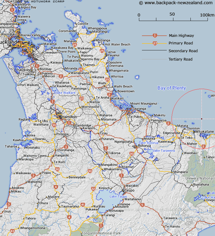
Map showing location of Motuhora Scarp
LINZ description: Bay of Plenty, North Island A scarp in the shelf edge which is a surface expression of the White Island Fault. Forms the eastern boundary of the Whakatane Graben.
Latitude: -37.8
Longitude: 177.083333
Northing: 5808514.7
Easting: 1959553.5
Land District: South Auckland
Feat Type: Scarp
Latitude: -37.8
Longitude: 177.083333
Northing: 5808514.7
Easting: 1959553.5
Land District: South Auckland
Feat Type: Scarp

Scroll down to see a more detailed road map and below that a topographical map showing the location of Motuhora Scarp. The road map has been supplied by openstreetmap and the topographical map of Motuhora Scarp has been supplied by Land Information New Zealand (LINZ).
Yes you can use the top static map for you school/university project or personal website with a link back. Contact me for any commercial use.
[ A ] [ B ] [ C ] [ D ] [ E ] [ F ] [ G ] [ H ] [ I ] [ J ] [ K ] [ L ] [ M ] [ N ] [ O ] [ P ] [ Q ] [ R ] [ S ] [ T ] [ U ] [ V ] [ W ] [ X ] [ Y ] [ Z ]