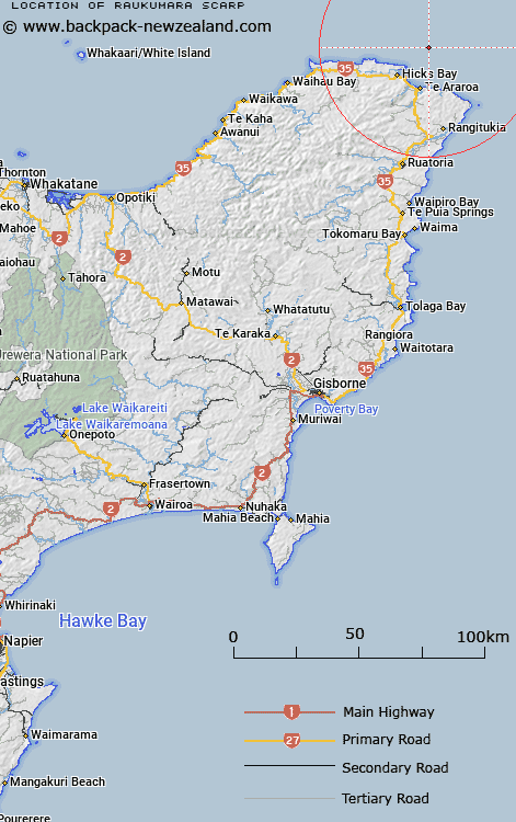
Map showing location of Raukumara Scarp
LINZ description: East Cape shelf, North Island. A steep scarp off the outer continental slope on the northern side of East Cape Peninsula where sedimentary deposits have shifted downslope.
Latitude: -37.5
Longitude: 178.4
Northing: 5835937.7
Easting: 2077490.5
Land District: Gisborne
Feat Type: Scarp
Latitude: -37.5
Longitude: 178.4
Northing: 5835937.7
Easting: 2077490.5
Land District: Gisborne
Feat Type: Scarp

Scroll down to see a more detailed road map and below that a topographical map showing the location of Raukumara Scarp. The road map has been supplied by openstreetmap and the topographical map of Raukumara Scarp has been supplied by Land Information New Zealand (LINZ).
Yes you can use the top static map for you school/university project or personal website with a link back. Contact me for any commercial use.
[ A ] [ B ] [ C ] [ D ] [ E ] [ F ] [ G ] [ H ] [ I ] [ J ] [ K ] [ L ] [ M ] [ N ] [ O ] [ P ] [ Q ] [ R ] [ S ] [ T ] [ U ] [ V ] [ W ] [ X ] [ Y ] [ Z ]